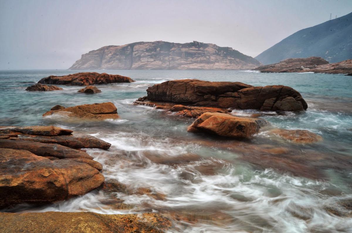
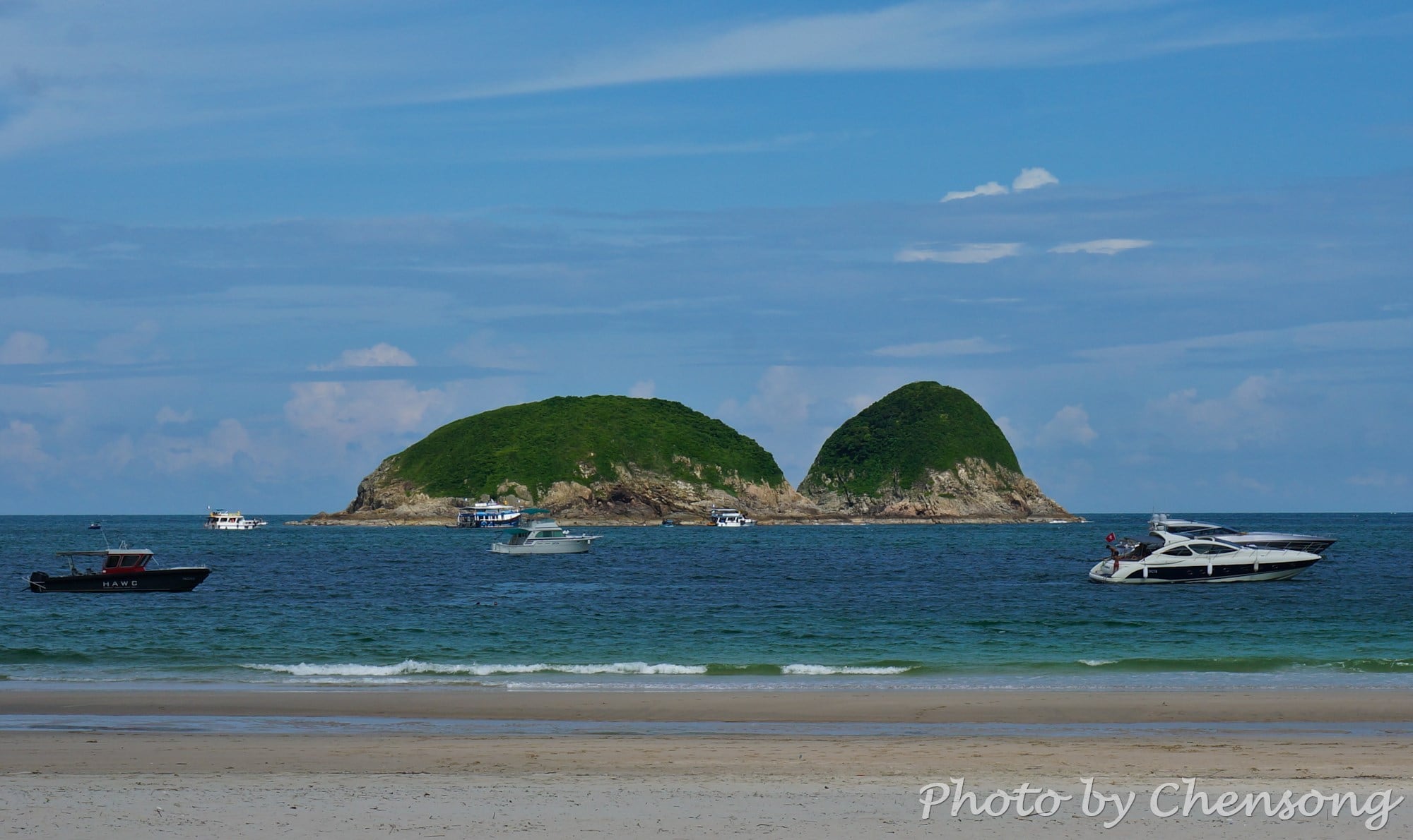
Kau Pei Chau (狗髀洲) is located to the south of Cape D'Aguilar Marine Reserve (鶴咀海岸保護區), and the most southeast corner of Hong Kong Island. It is only around 50 meters from the D'Aguilar Peninsula, but since the peninsula extends quite further into the sea, the island is hit by big waves all day. There is nobody living on Kau...
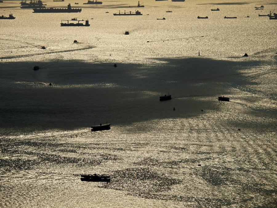
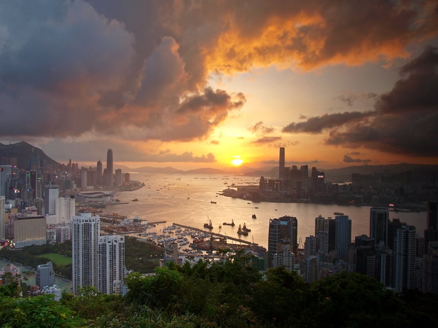
Victoria Harbor, located between Hong Kong Island and Kowloon Peninsula, provides a natural shelter and deep waters (30-40m) for all types of vessels.
Watching hundreds of ships coming and leaving on Victoria Harbor reminds people of what this modern city has suffered 170 years ago.
Back in 1842, the Qing navy was defeated by the British Royal Navy in the First...
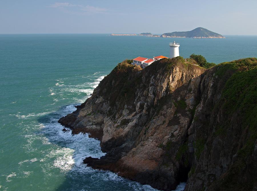
Declared a monument in Hong Kong, Cape d'Aguilar Lighthouse (a.k.a. Hok Tsui Beacon) is one of the five surviving pre-war lighthouses and the oldest lighthouse in Hong Kong. The other four lighthouses are located in Green Island, Waglan Island and Tang Lung Chau.
Cape d'Aguilar Lighthouse was build at the southeast of Cape d’Aguilar Peninsula and put into service in...
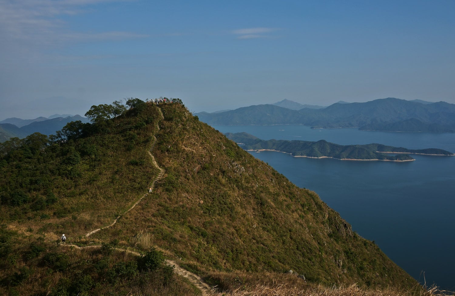
Dragon's Back is no doubt the best-known hiking trail in Hong Kong. Many travel magazines have it covered. But it is no doubt not the most beautiful one, even not among the TOP 10.
The reasons why people like it so much are 1. it is in Hong Kong Island, where most rich people live. 2. it is very close...
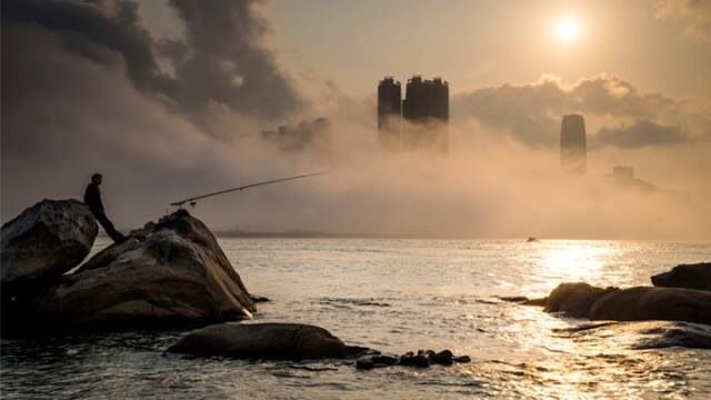
In spring, Hong Kong is quite humid. At this time of year, cold air from north gradually recedes and warm air comes in from the sea. However, water near the coast is still very cold, which cools down the air near the ground. Water vapor may condense into tiny water droplets and reduce the visibility near the horizon. We...
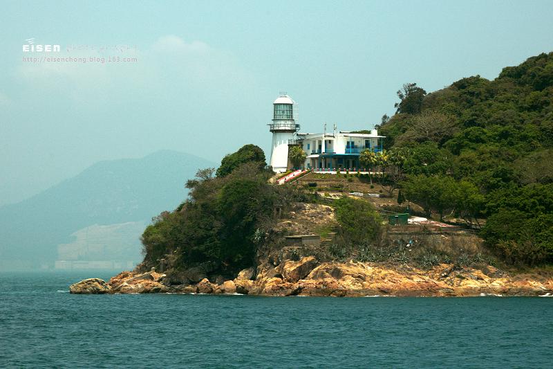
Situated on Green Island, a short distance off the west coast of Hong Kong Island, the Green Island Lighthouse Compound comprises two lighthouses, a former European quarters and a former keeper's house. Both Green Island Lighthouses have served thousands of vessels approaching Hong Kong from the west for many decades and have thus played an important role in Hong...
Braemar Hill, named after a Scottish village, is mainly a residential area between North Point and Quarry Bay in Hong Kong Island. Part of the hill is within the Tai Tam Country Park (Quarry Bay Extension), near Wilson Trail Stage 2 and Hong Kong Trail Stage 5.
It is considered as an upper-class neighborhood area since 1960s. Near the hilltop,...
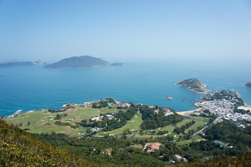
Shek O is a popular place in Hong Kong Island for swimmers, barbecue lovers and Cantopop music video shooting. It is surrounded by South China Sea, Big Wave Bay and Cape D'Aguilar Peninsula.
Tai Tau Chau connects to Shek O through a tombolo. But hikers do not need to worry about the tide because a blue Lover's Bridge was built...
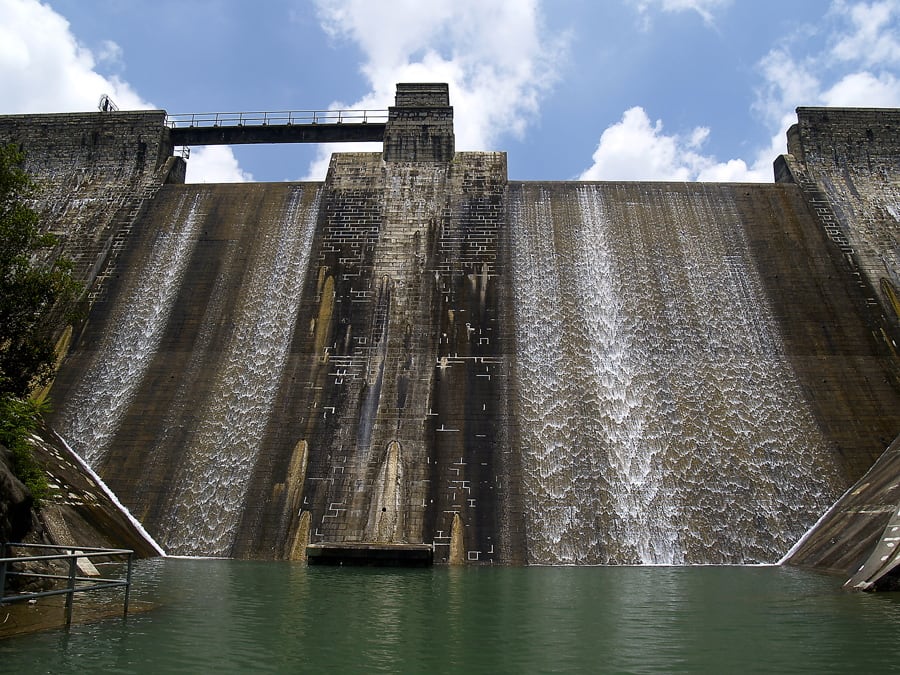
Tai Tam Reservoir Group is a group of reservoirs located in the Tai Tam Country Park.
The Reservoir Group was built between 1888 and 1917 to supply fresh water to the increasing population in Hong Kong and also brought up the the economy in the east of Hong Kong Island.
Hikers can follow Hong Kong Trail Stage 6 or Tai Tam...
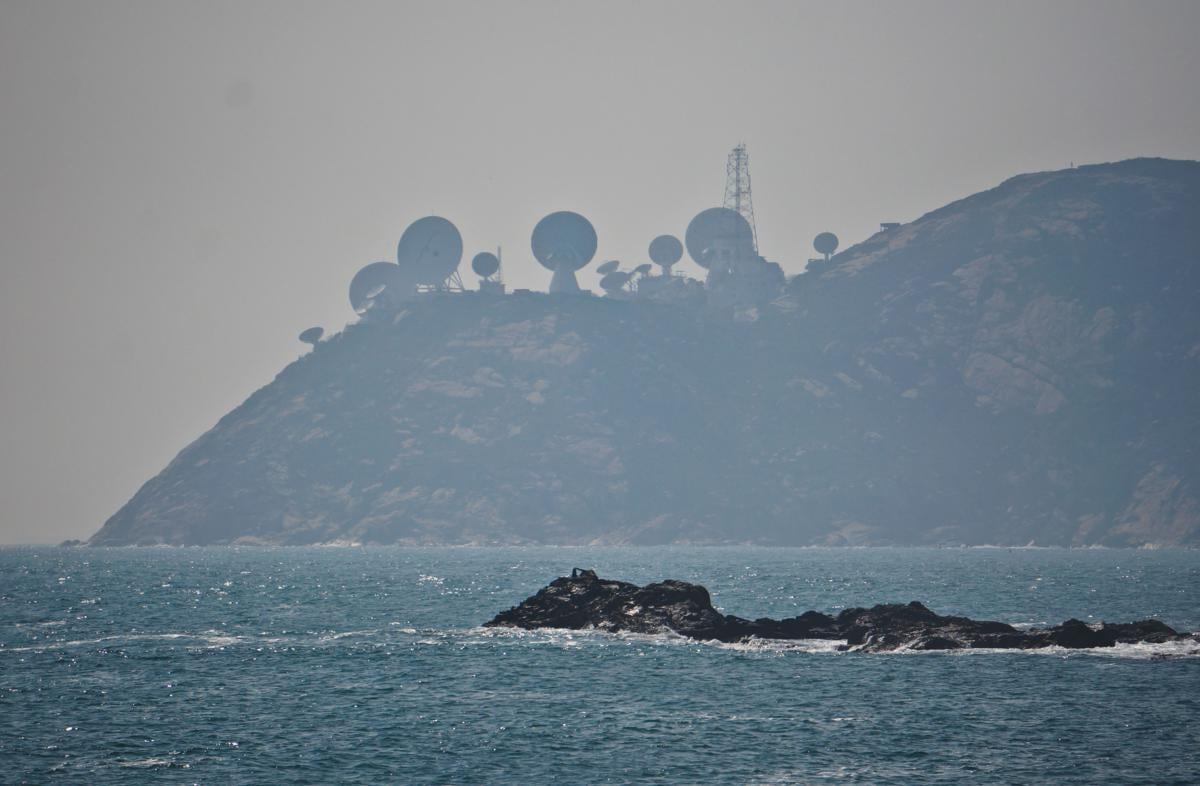
Standing at Cape D'Aguilar Marine Reserve (鶴咀海岸保護區), people can see Stanley Peninsula / Chek Chue (赤柱半島) just a few miles a away and the "radar stations" on top of the hill quite stand out from the background.
This is actually AsiaSat's Stanley Earth Station. Six antennas serve as a backup system to the Tai Po Earth Station in New Territories....


