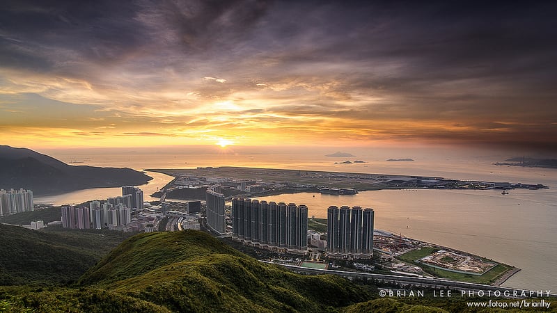
You can get a bird view of Tung Chung and Hong Kong International Airport near Por Kai Shan. I know the sunset is pretty, but you can view it elsewhere. Now let's focus on the screen-like 50- to 70-storey buildings standing in front of you, which can be found in cities with a high population density. After the Hong Kong...
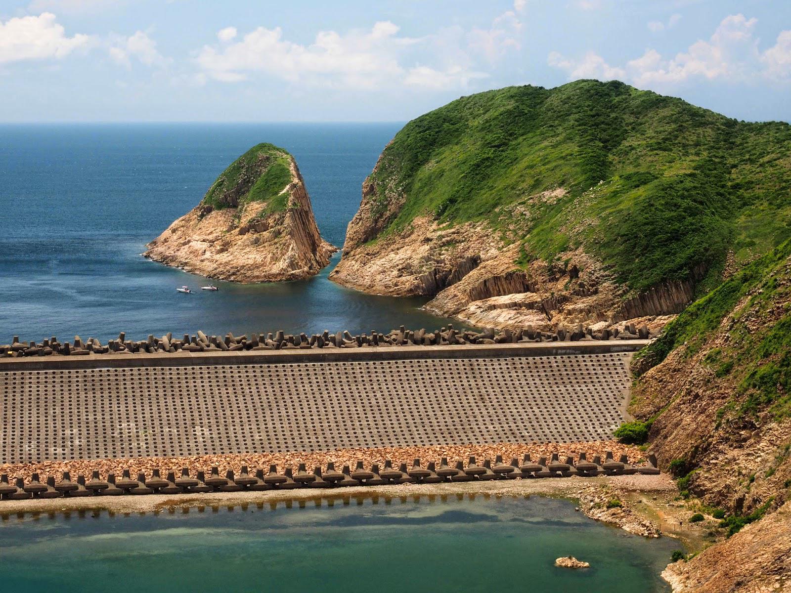
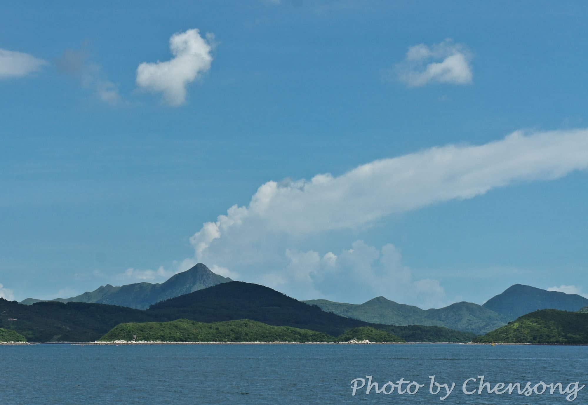
You can tell the "volcano" is fake. Sharp Peak is a tough hiking trail in Sai Kung Country Park for professional hikers. In clear weather, people can see the sharp peak from almost every angle in the east of Sai Kung. The real volcano in Hong Kong actually died millions of years ago, left thousands of hexagonal volcanic rocks along...
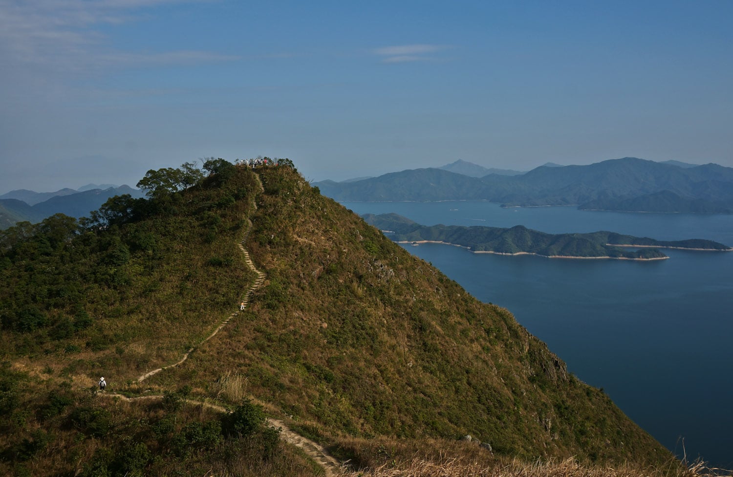
Hsien Ku Fung (仙姑峰) is at the east end of Pak Sin Leng mountain range and Wilson Trail Stage 9, and it is one of the best peaks to get a 360-degree view of the nature of northeast New Territories. To the east is Plover Cove Reservoir, the first "reservoir in sea" over the world. Hikers can also see the Sharp...
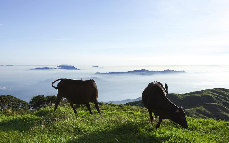
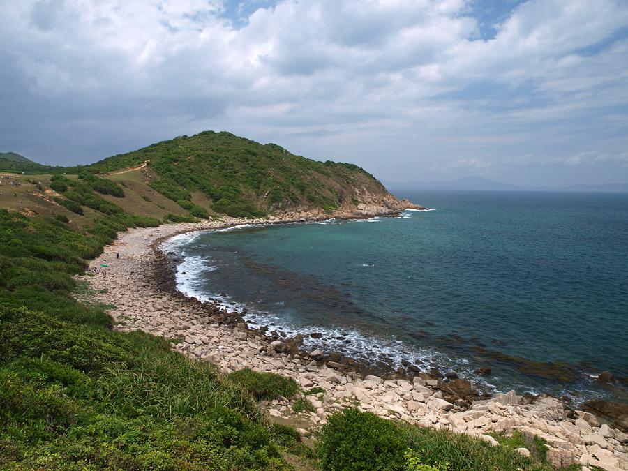
Grass Island, a.k.a. Tap Mun, only one hour ferry away from the city, is one of the most beautiful islands in Hong Kong. Surrounded by multiple nature parks, Grass Island has also got perfect grassland, thus, it is a perfect place for camping, although there is no government designated camp sites on the island. It provides a brief escape away...
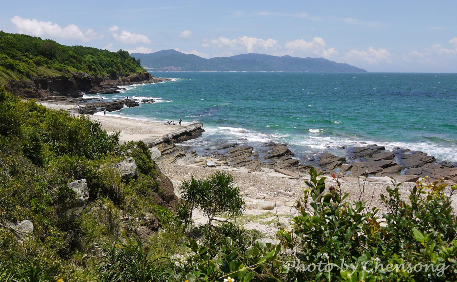
At the west coast of Tung Ping Chau, hikers can see an interesting geological phenomenon called "Dragon diving into the sea". The white rock strata lying obliquely on the coast looks like the backbone of a dragon and extends from the coast into the sea. It is actually caused by differential weathering between rock strata consisting mostly of quartz and...
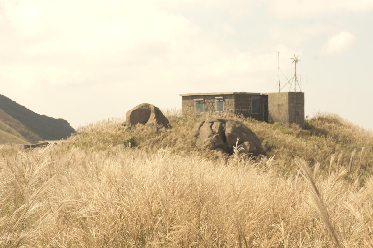
It is like walking into a dreamland. Dozens of stone houses are built among silvergrass, across the top of Sunset Peak at Lantau Island. These stone houses have more than 90 years of history, but even local Hong Kong people cannot tell the stories behind them. It is said that the houses were built by British missionaries for camping purpose. At...
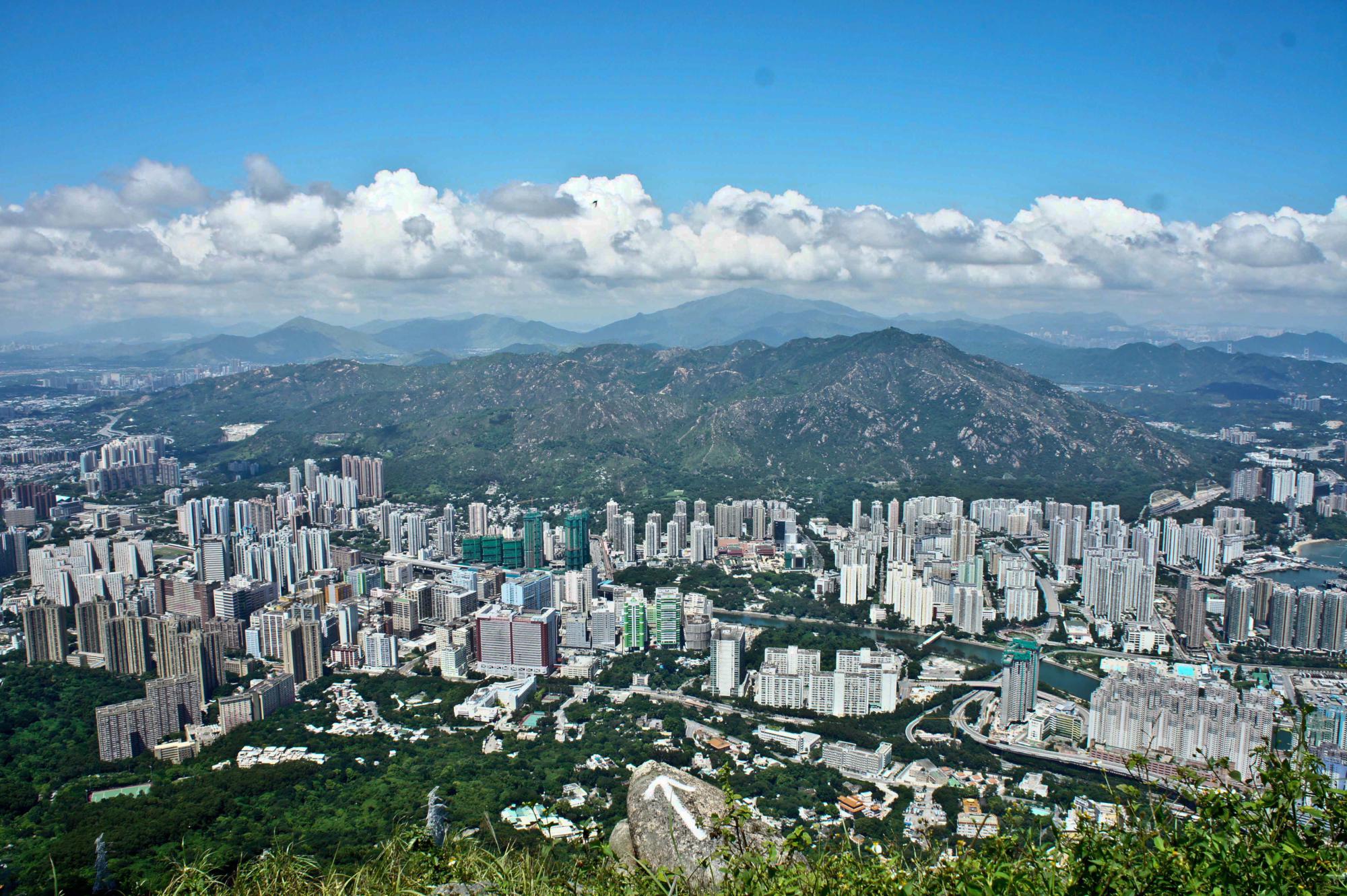
From the top of Castle Peak, hikers can sense the harmony between human and nature in Hong Kong. Hong Kongers are very conservative in reclaiming land from the nature. They respect the nature and live with the nature. If you have a chance to view the satellite map of Hong Kong, you can see that 80% of the land consists...
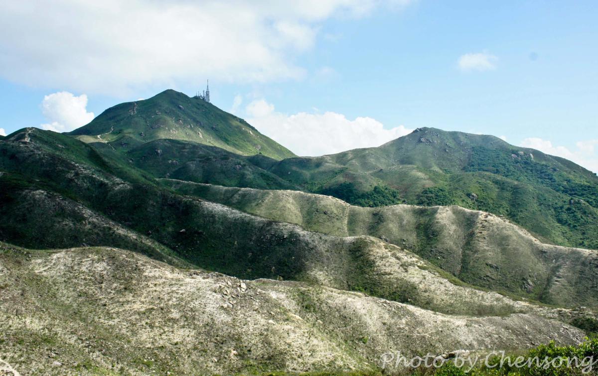
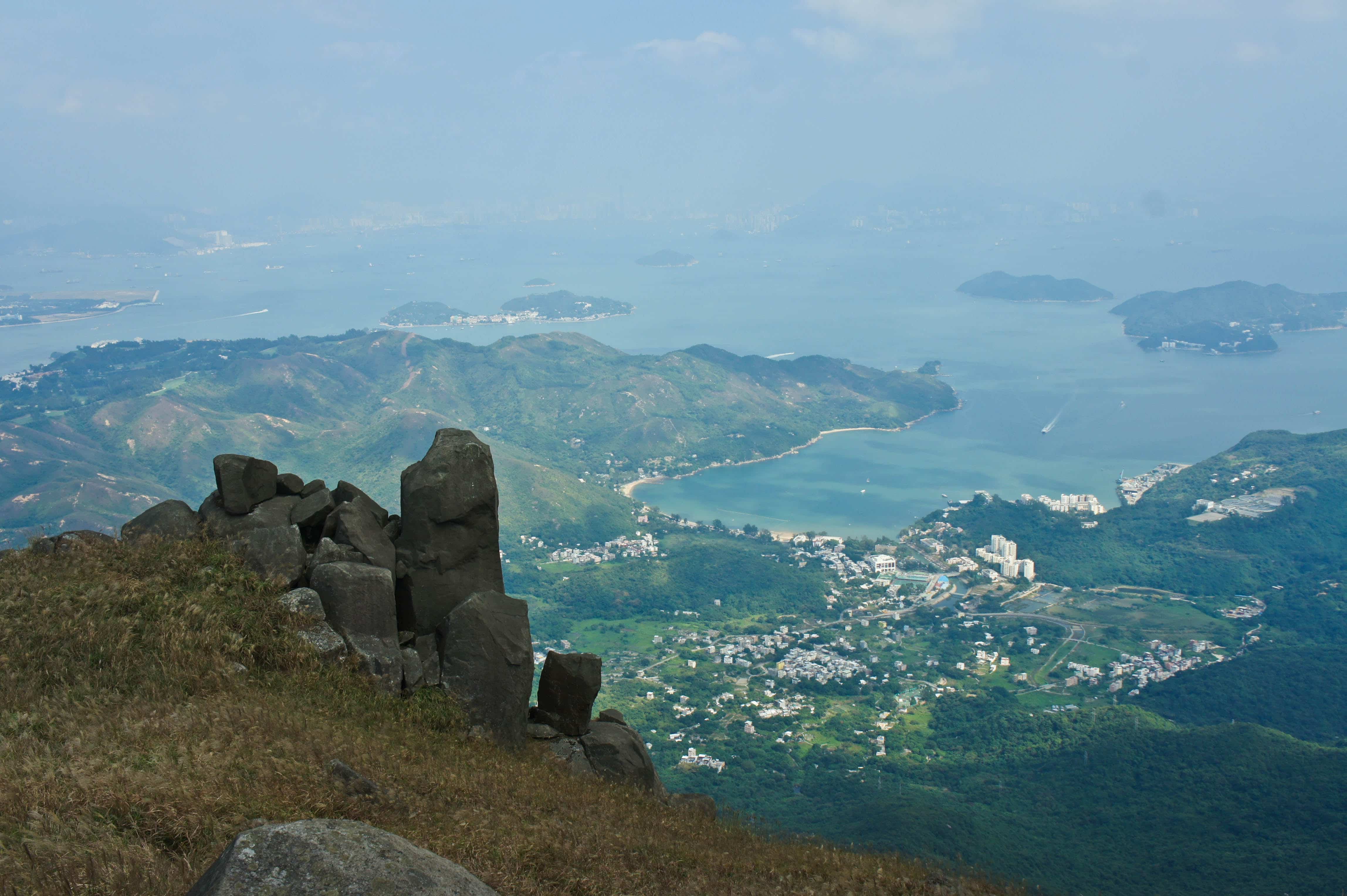
Most hikers come to Lantau Island to conquer the Twin Peak (Lantau Peak and Sunset Peak). Although they are the highest mountains in Lantau Island, people can hardly see the Silver Mine Bay because it is blocked by Lin Fa Shan, the 6th highest hill in Hong Kong. Lin Fa Shan is ignored by most people, but the scene on...
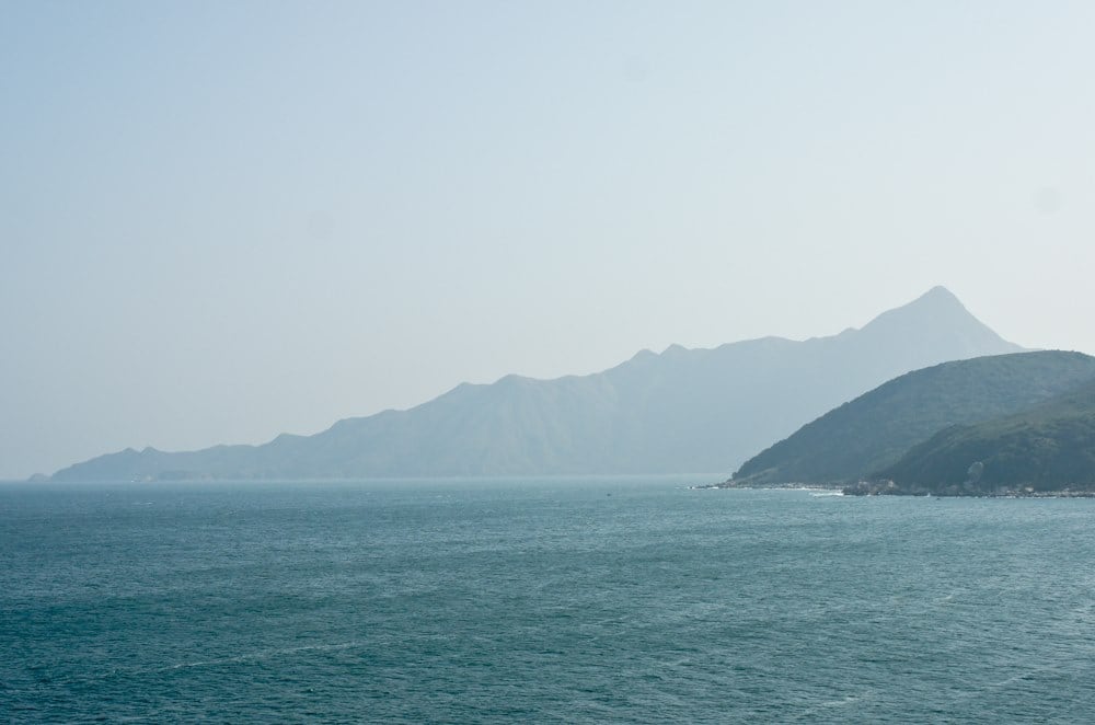
On Tap Mun (a.k.a. Grass Island), tourists can get a good view of the east ridge of Nam She Tsim (a.k.a. Sharp Peak). It is the path that hikers usually choose to go downhill. (See south ridge of Sharp Peak.) At the end of the ridge is Tai Long Tsui (大浪咀), where very few people can get there after an...
Tai Mo Shan (大帽山), located at the center of New Territories, is the highest peak (957m) in Hong Kong. On a clear day even Lantau and its adjacent islands can be seen.


