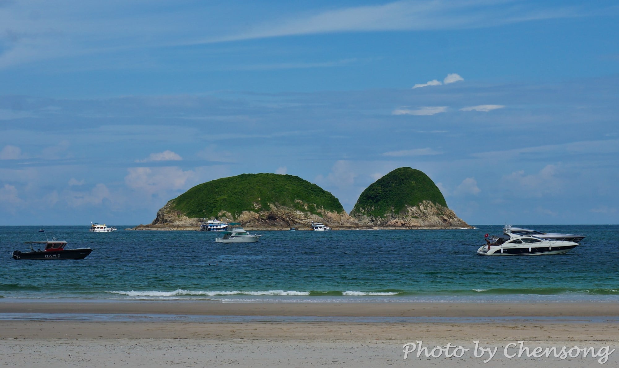
Kau Pei Chau (狗髀洲) is located to the south of Cape D'Aguilar Marine Reserve (鶴咀海岸保護區), and the most southeast corner of Hong Kong Island. It is only around 50 meters from the D'Aguilar Peninsula, but since the peninsula extends quite further into the sea, the island is hit by big waves all day. There is nobody living on Kau...
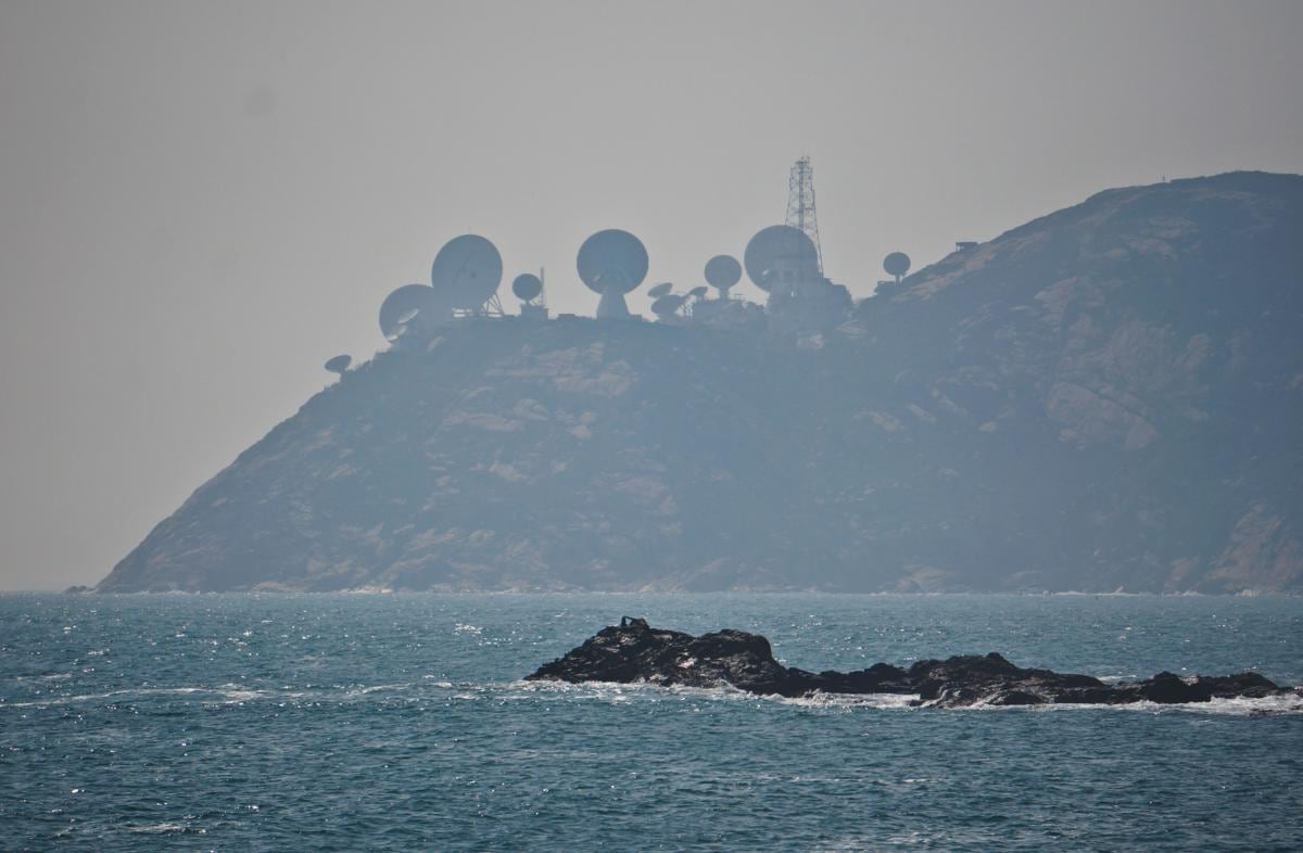
Standing at Cape D'Aguilar Marine Reserve (鶴咀海岸保護區), people can see Stanley Peninsula / Chek Chue (赤柱半島) just a few miles a away and the "radar stations" on top of the hill quite stand out from the background. This is actually AsiaSat's Stanley Earth Station. Six antennas serve as a backup system to the Tai Po Earth Station in New Territories....
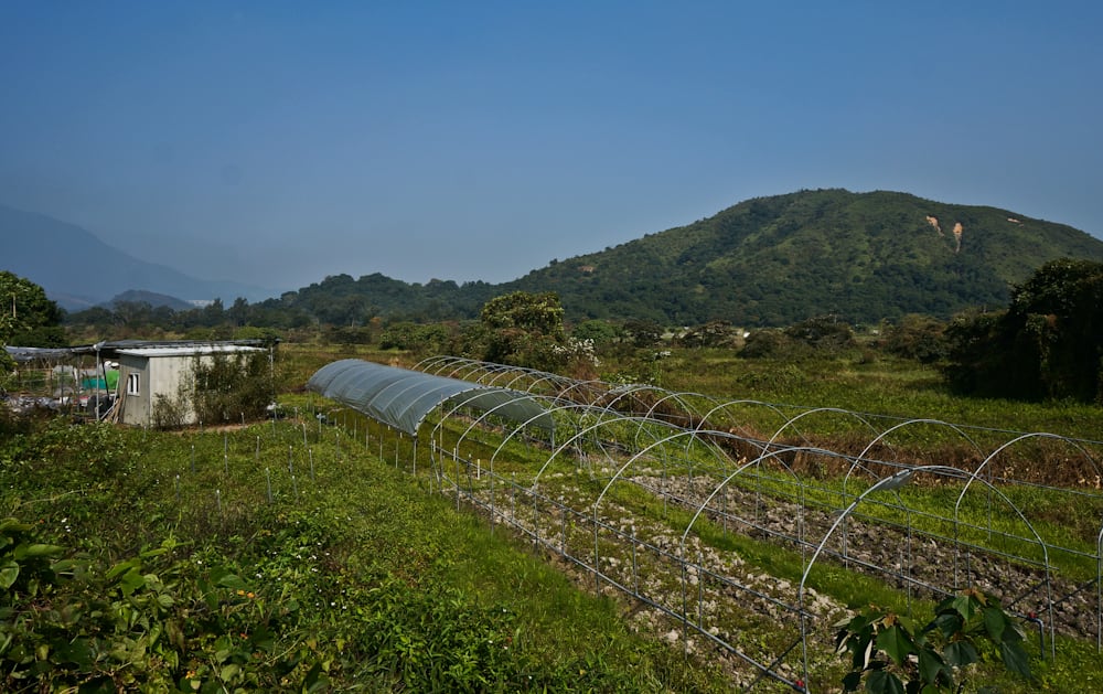
At the end of Wilson Trail 10 lies a quiet village called Nam Chung that is isolated from the outside world. You can see farmlands, old houses, fish ponds and temples here. Take some time to explore this village of profound culture and experience how time flies in front of you. Yeung Uk (楊屋), Cheng Uk (鄭屋), Lo Uk (羅屋),...
Pandanus tectorius (a.k.a. "Wild Pineapple" in Chinese) can be widely seen in outlying islands and along coastlines in Hong Kong, such as Tung Ping Chau, Grass Island and Wong Chuk Kok. It grows wild mainly in semi-natural vegetation in littoral habitats throughout the tropical and subtropical Pacific, where it can withstand drought, strong winds, and salt spray. It propagates readily...
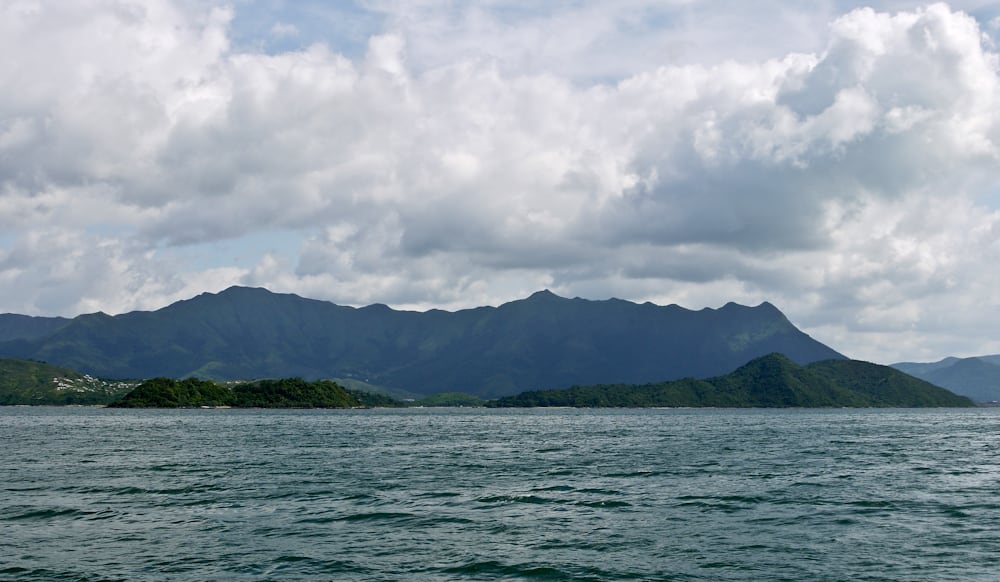
Pat Sin Leng (八仙嶺) literally means "Eight Peaks of Immortals". It is a mountain range located in northeast New Territories and the highest peak is 591m. From Tolo Harbor, people can get a clear view of Pat Sin Leng's 8 stately peaks, named after 8 immortals in Chinese mythology: Shun Yeung Fung (純陽峰), Chung Li Fung (鐘離峰), Kuai Li Fung...


