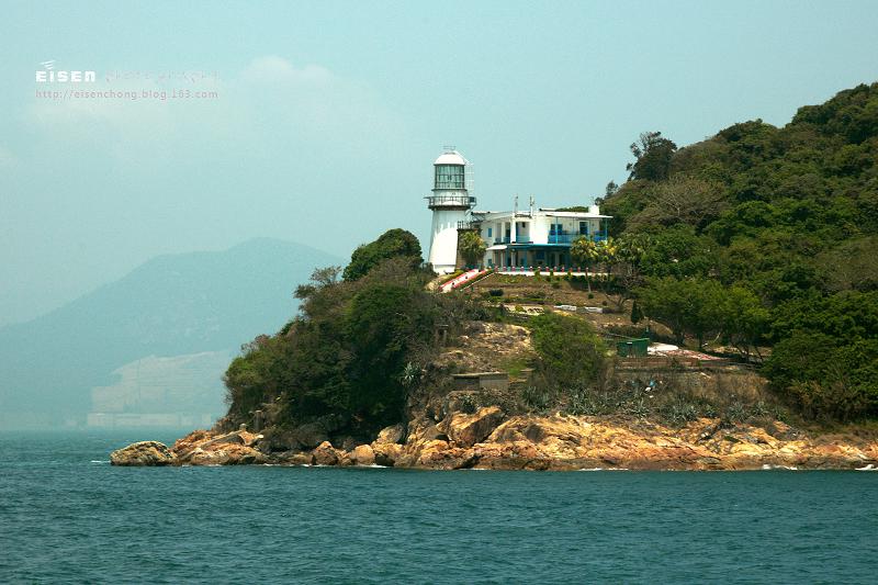
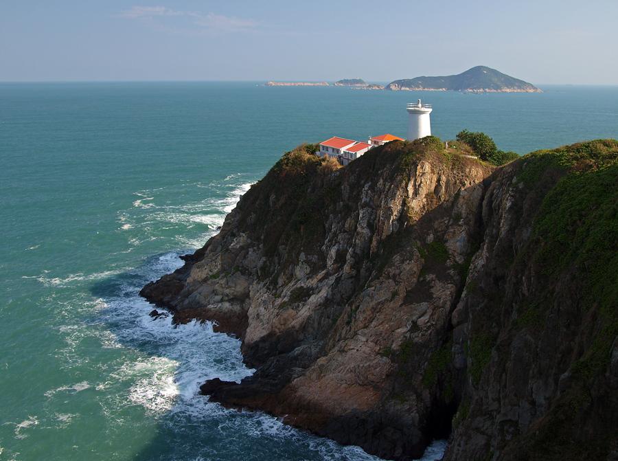
Declared a monument in Hong Kong, Cape d'Aguilar Lighthouse (a.k.a. Hok Tsui Beacon) is one of the five surviving pre-war lighthouses and the oldest lighthouse in Hong Kong. The other four lighthouses are located in Green Island, Waglan Island and Tang Lung Chau. Cape d'Aguilar Lighthouse was build at the southeast of Cape d’Aguilar Peninsula and put into service in...
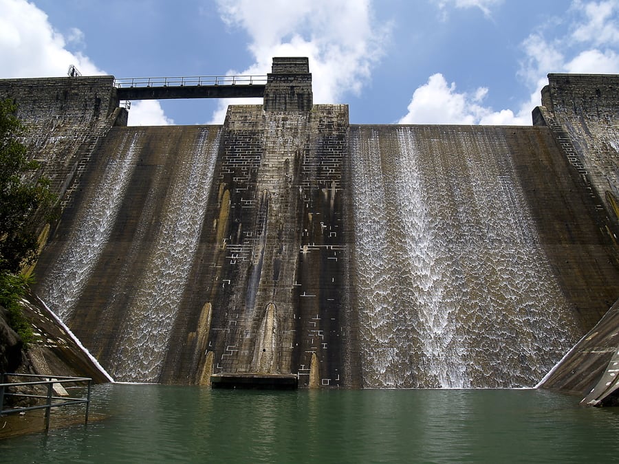
Tai Tam Reservoir Group is a group of reservoirs located in the Tai Tam Country Park. The Reservoir Group was built between 1888 and 1917 to supply fresh water to the increasing population in Hong Kong and also brought up the the economy in the east of Hong Kong Island. Hikers can follow Hong Kong Trail Stage 6 or Tai Tam...
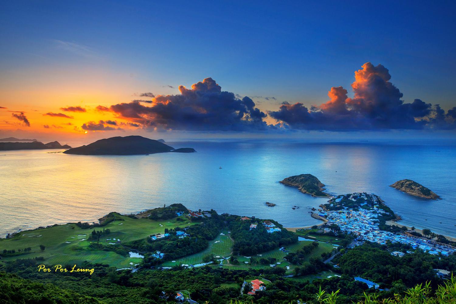
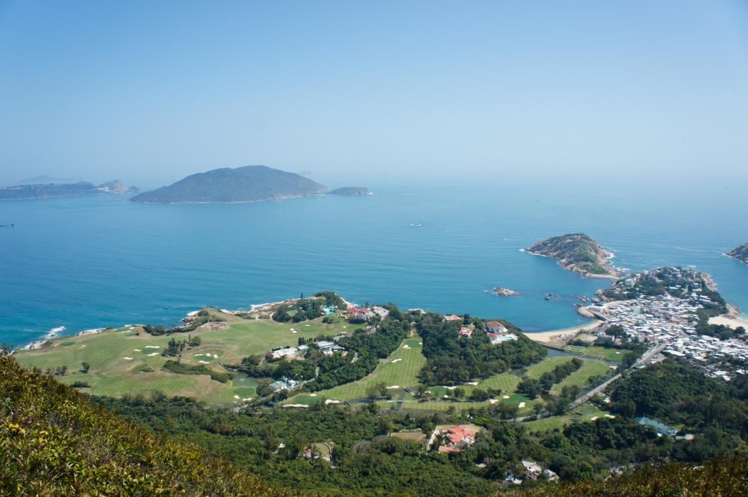
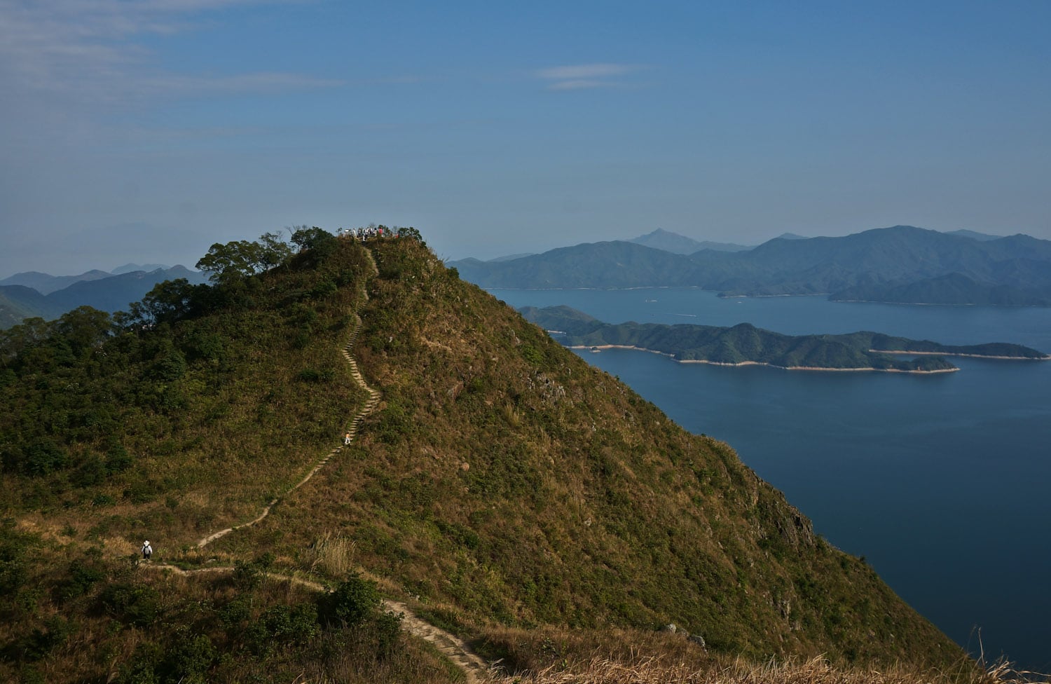
Lying inside the Shek O Country Park and facing Tathong Channel, Dragon's Back (part of the Hong Kong Trail Stage 8) was selected as the best urban hiking trail by Time Asia Magazine in 2004. The "Dragon" got its name from the trail's ups and downs between Shek O Peak and Wan Cham Shan. Hikers can enjoy the grand view...
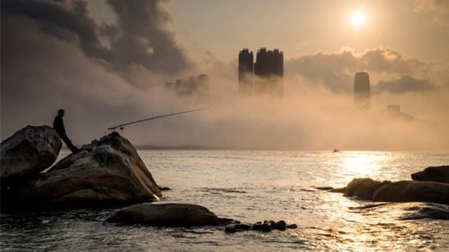
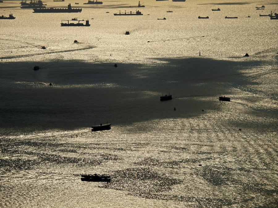
Victoria Harbor, located between Hong Kong Island and Kowloon Peninsula, provides a natural shelter and deep waters (30-40m) for all types of vessels. Watching hundreds of ships coming and leaving on Victoria Harbor reminds people of what this modern city has suffered 170 years ago. Back in 1842, the Qing navy was defeated by the British Royal Navy in the First...
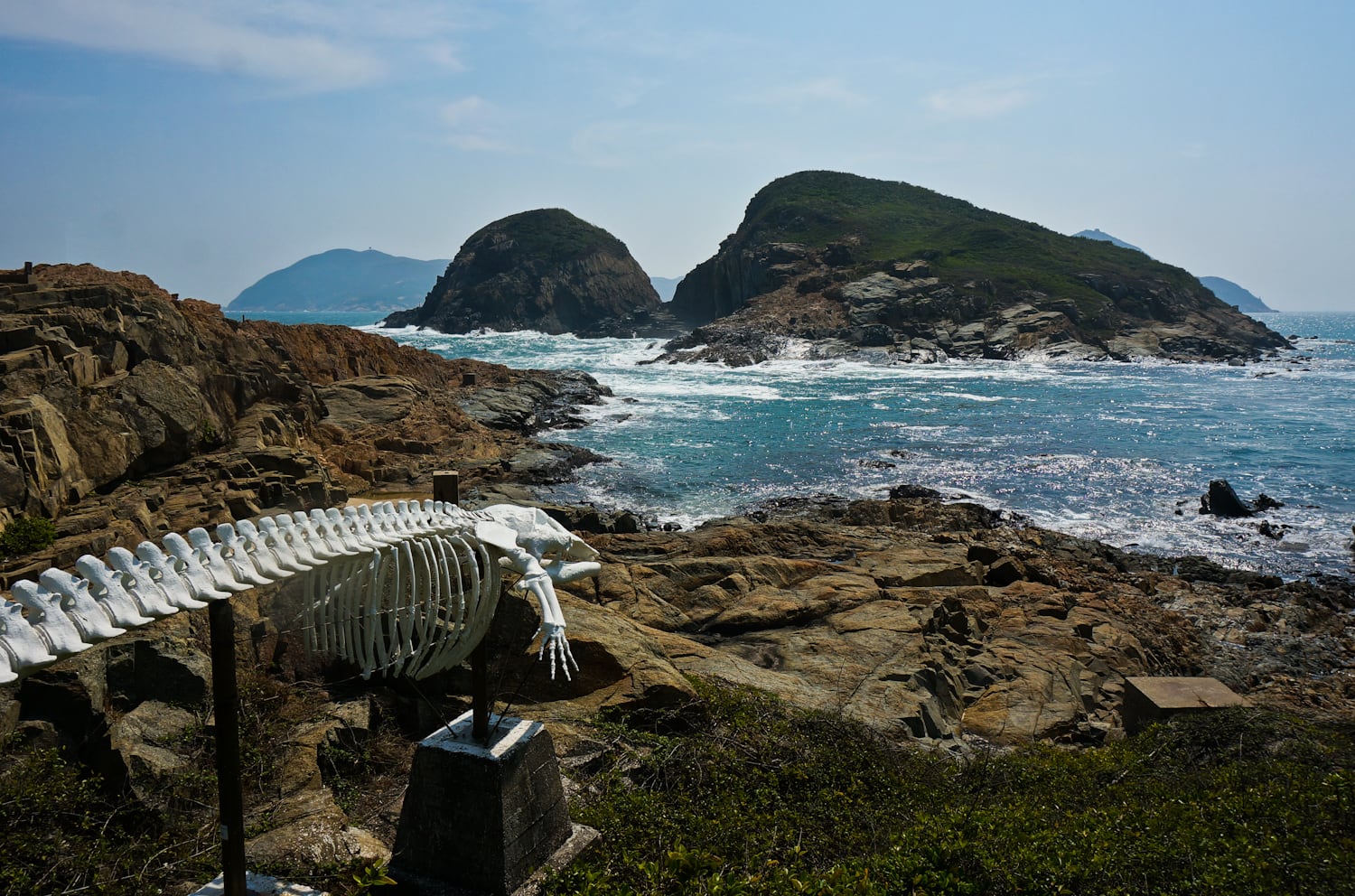
The whale bone at The HKU Swire Institute of Marine Science is the landmark of Cape d'Aguilar Peninsula, located at the southern tip of Hong Kong Island. It is the 1st marine reserve area in Hong Kong where commercial fishing and any recreational activities are strictly prohibited. The coastline of Cape d'Aguilar includes a variety of intertidal and shallow subtidal habitats...
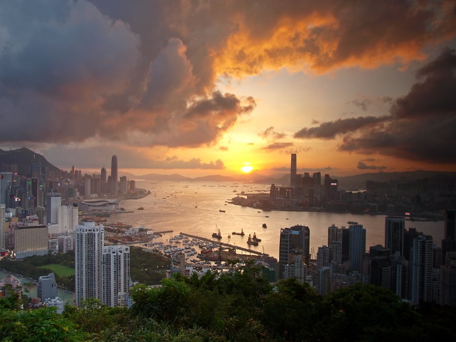
Braemar Hill, named after a Scottish village, is mainly a residential area between North Point and Quarry Bay in Hong Kong Island. Part of the hill is within the Tai Tam Country Park (Quarry Bay Extension), near Wilson Trail Stage 2 and Hong Kong Trail Stage 5. It is considered as an upper-class neighborhood area since 1960s. Near the hilltop,...
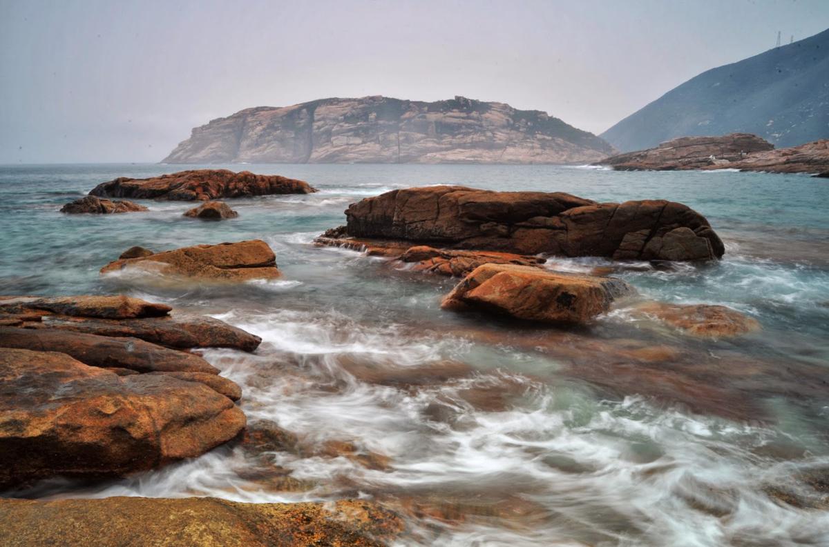
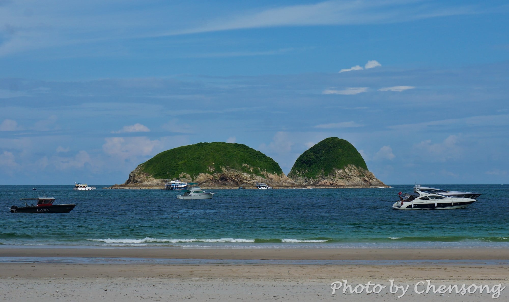
Kau Pei Chau (狗髀洲) is located to the south of Cape D'Aguilar Marine Reserve (鶴咀海岸保護區), and the most southeast corner of Hong Kong Island. It is only around 50 meters from the D'Aguilar Peninsula, but since the peninsula extends quite further into the sea, the island is hit by big waves all day. There is nobody living on Kau...
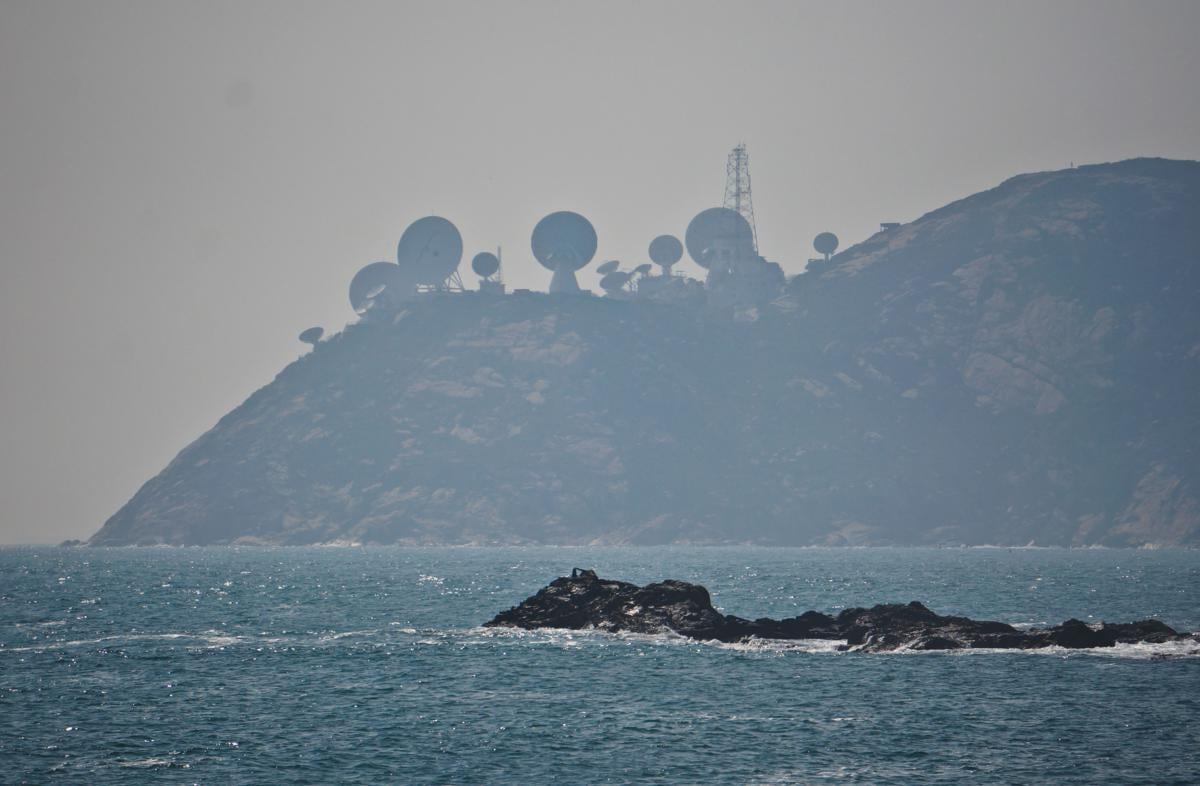
Standing at Cape D'Aguilar Marine Reserve (鶴咀海岸保護區), people can see Stanley Peninsula / Chek Chue (赤柱半島) just a few miles a away and the "radar stations" on top of the hill quite stand out from the background. This is actually AsiaSat's Stanley Earth Station. Six antennas serve as a backup system to the Tai Po Earth Station in New Territories....
Big Wave Bay, or Tai Long Wan, is located at the end of Hong Kong Trail. It is time to take a little walk on the beach and let the nature wash away all your tiredness and leave your worries behind. To your left, you can find a little path leading to a rock carving landscape. The carving was made by...
Dragon's Back is no doubt the best-known hiking trail in Hong Kong. Many travel magazines have it covered. But it is no doubt not the most beautiful one, even not among the TOP 10. The reasons why people like it so much are 1. it is in Hong Kong Island, where most rich people live. 2. it is very close...


