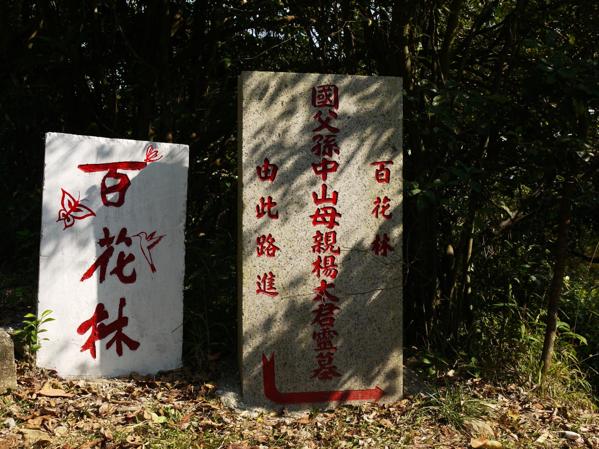
Sun Yat-sen, the father of the Republic of China, was buried in Mount Zijin (Purple Mountain) in Nanjing, China. But where was his mother buried? There is very little information about this great woman.
As the foremost pioneer of Republic of China, Sun is referred to as the Father of the Nation. Sun's notability and popularity extends beyond the great...
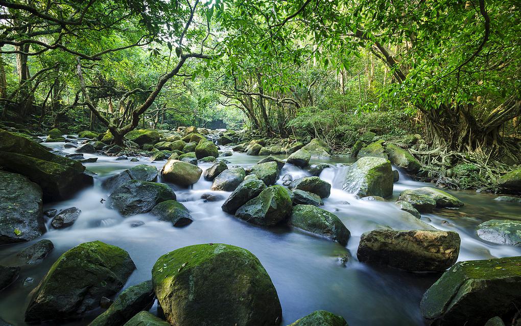
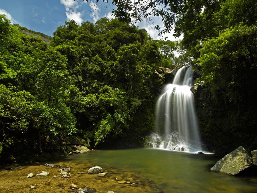
Bride's Pool is a well-known scenic spot near Tai Mei Tuk in Plover Cove Country Park. Hikers can find 15-meter high Bride's Pool Waterfall, Mirror Pool and some nature trails nearby. The Bride's Pool is crystal clear, so it is a very popular place in summer and for swimmers.
Legend has it that a bride fell into the pool and drowned on...
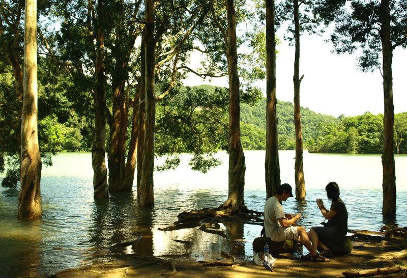
There are 3 hiking trails around the Shing Mun Reservoir (or Jubilee Reservoir), i.e. Maclehose Trail Stage 7, Wilson Trail Stage Stage 7 and Pineapple Dam Nature Trail.
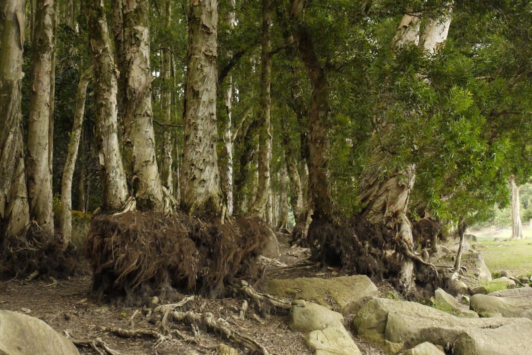
Here hikers can experience two extremes of nature: in the rainy season, when the water level is high, trees are immersed in the water. In the dry season, hikers can walk closer...
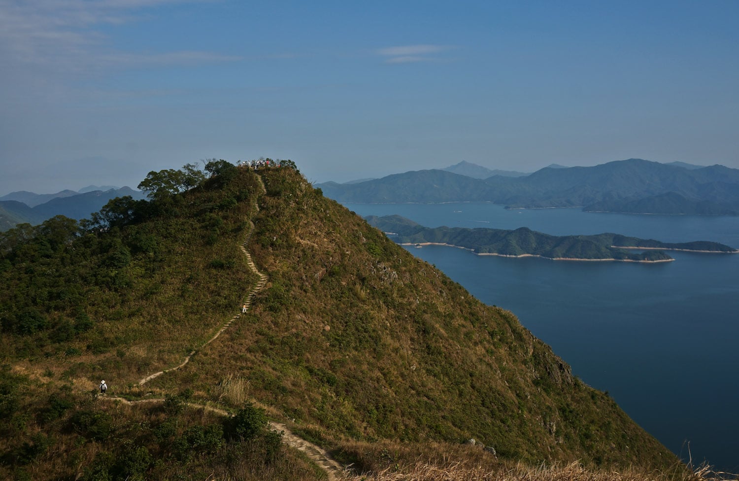
Hsien Ku Fung (仙姑峰) is at the east end of Pak Sin Leng mountain range and Wilson Trail Stage 9, and it is one of the best peaks to get a 360-degree view of the nature of northeast New Territories.
To the east is Plover Cove Reservoir, the first "reservoir in sea" over the world. Hikers can also see the Sharp...
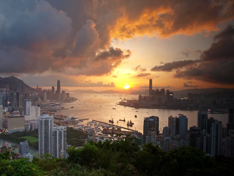
Braemar Hill, named after a Scottish village, is mainly a residential area between North Point and Quarry Bay in Hong Kong Island. Part of the hill is within the Tai Tam Country Park (Quarry Bay Extension), near Wilson Trail Stage 2 and Hong Kong Trail Stage 5.
It is considered as an upper-class neighborhood area since 1960s. Near the hilltop,...
In Chinese, Devil's Peak (a.k.a. Pau Toi Shan) and Fortress Hill (MTR station) are the same, but they are different places.
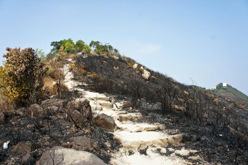
The picture was taken after a mountain fire not long ago. In Hong Kong's winter, the air is very dry, causing a high risk of mountain fire. HK's emergency number is 999. Keep it in mind.
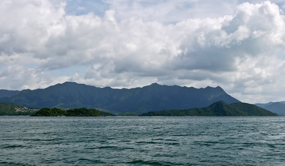
Pat Sin Leng (八仙嶺) literally means "Eight Peaks of Immortals". It is a mountain range located in northeast New Territories and the highest peak is 591m.
From Tolo Harbor, people can get a clear view of Pat Sin Leng's 8 stately peaks, named after 8 immortals in Chinese mythology: Shun Yeung Fung (純陽峰), Chung Li Fung (鐘離峰), Kuai Li Fung...
Maclehose Trail Stage 7 and Wilson Trail Stage 6 intersects each other at Shing Mun Reservoir, which is located among Tai Mo Shan, Grassy Hill and Needle Hill, Lead Mine Pass, and Shing Mun Reservoir Road.
When the water level is low, you can walk down the bank of the reservoir and see the amazing root of the trees.
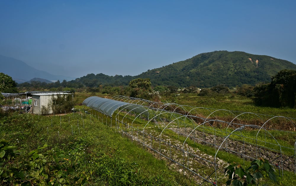
At the end of Wilson Trail 10 lies a quiet village called Nam Chung that is isolated from the outside world. You can see farmlands, old houses, fish ponds and temples here.
Take some time to explore this village of profound culture and experience how time flies in front of you. Yeung Uk (楊屋), Cheng Uk (鄭屋), Lo Uk (羅屋),...


