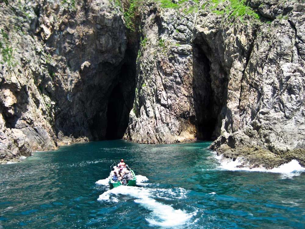
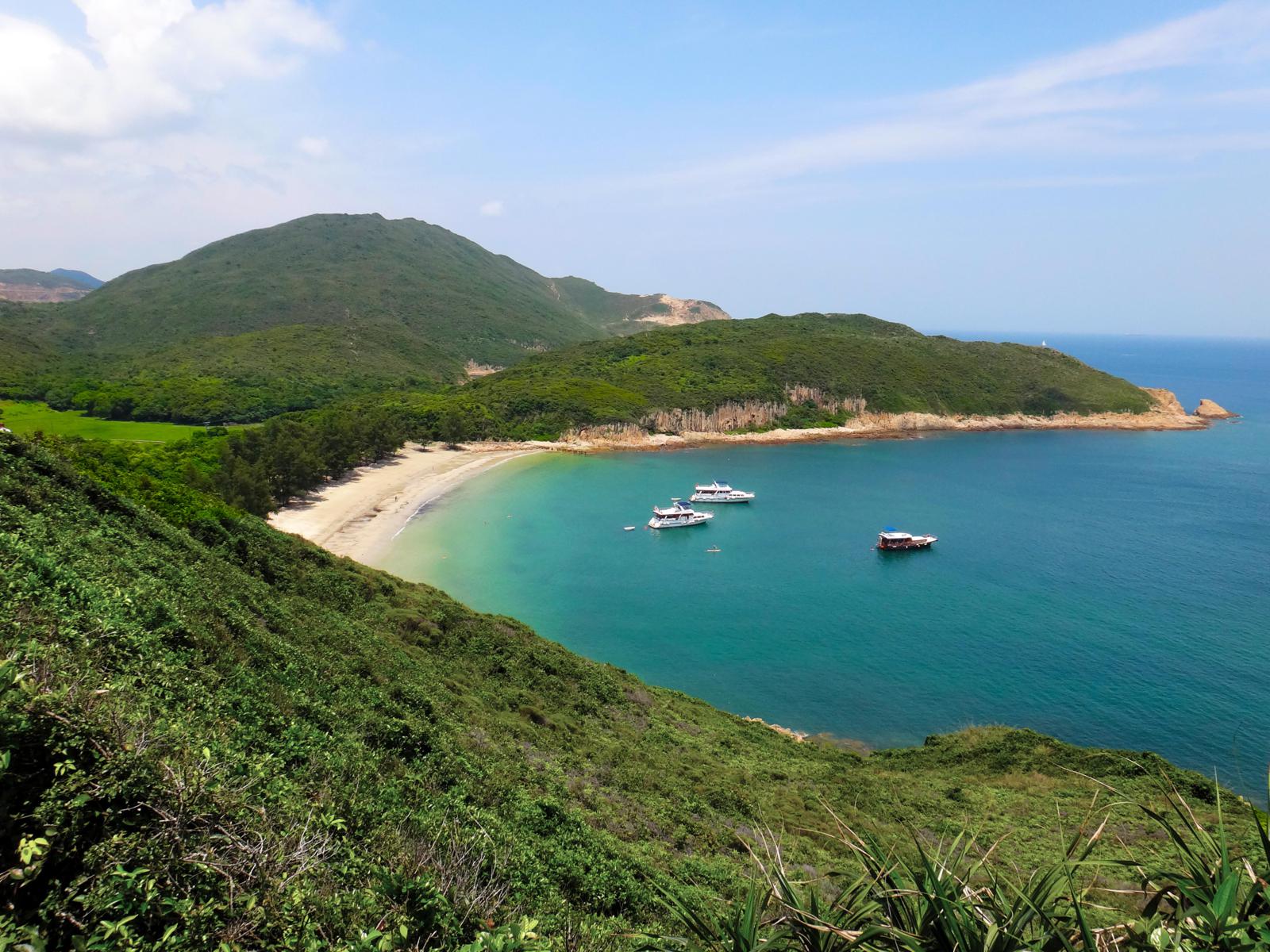
Yin Tsz Ngam literally means Swallow Cave in Chinese. It is actually several caves located at the northeast coast of Tai Yue Ngam Teng where lots of swallows and bats build their nests.
Suffered from the northeast monsoon and tide for millions of years, the coastline of Sai Kung Peninsula is full of amazing geological miracles, such as volcanic rock...
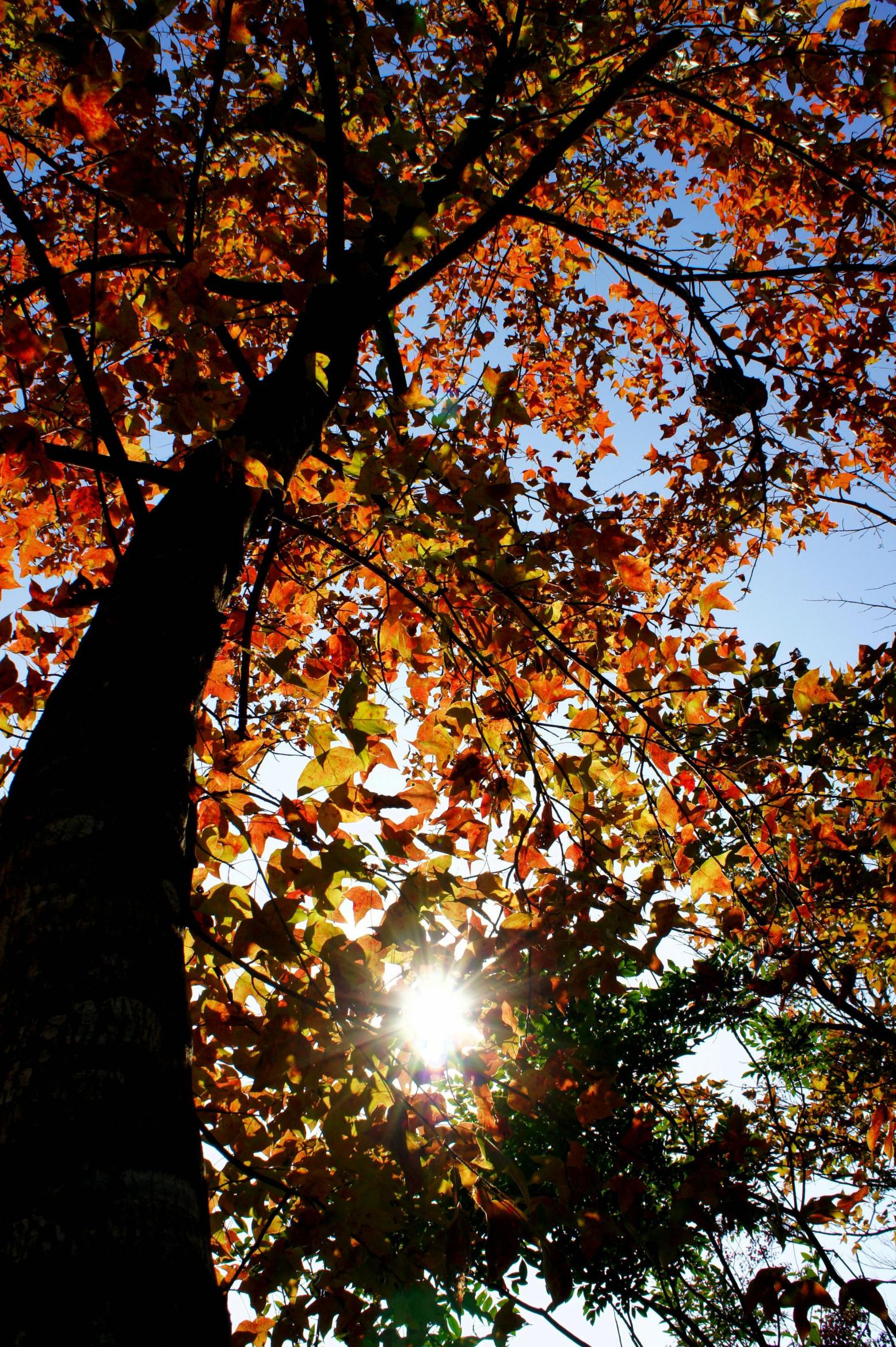
On Maclehose Trail Stage 10 and in Tai Lam Country Park (大欖郊野公園), it is the best place to see maple (or people usually call it "red leaves" in Hong Kong) in autumn.
Tai Lam is the second largest country park in Hong Kong, ranking just after the most expansive Lantau South Country Park. But it has the most hiking trails...
Along the coastlines of Hong Kong, you can find lots of sea caves, which are formed primarily by the wave action of the sea at the weak zone of the rocks.
Mok Min Cave (木棉桐) is the best-known sea cave that can be reached on land. When the tide is low, people can get inside and walk through.
Mok Min Cave...
Monkey Hill (a.k.a. Kam Shan) is located between Shatin and Sham Shui Po. Walking along Golden Hill Road, in between Shek Lei Pui Reservoir and Kownloon Reservoir, you can see lots of macaque monkeys running on the road, trees, bus stops, dams, trash cans, and chasing, fighting and mating with each other.
There are about 2100 macaque monkeys in Hong...
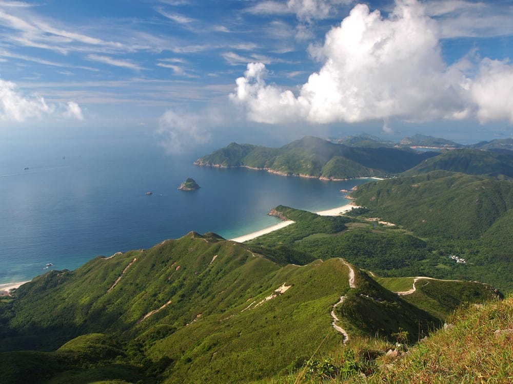
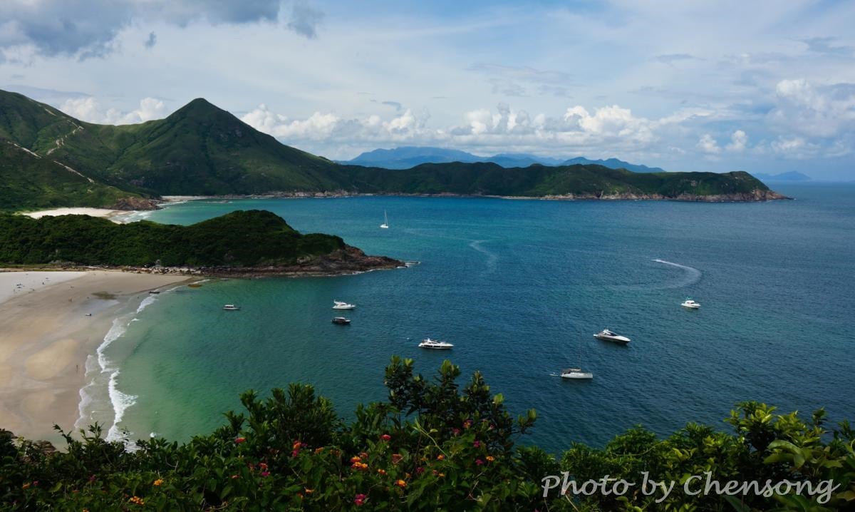
Big Wave Bay at Sai Kung consists of 4 beaches: Tai Long Sai Wan, Ham Tin Wan, Tai Wan and Tung Wan.
Together with the Sharp Peak located to the north of Tai Wan, this place is considered as one of the "4 Wonders in Hong Kong", and the best surfing and camping destination in summer.
Maclehose Trail Stage 2 passes...
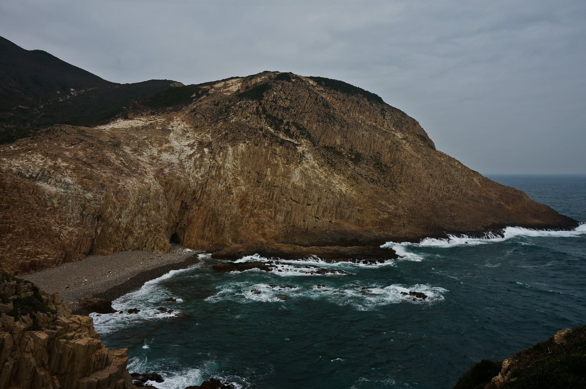
The most spectacular rock wonder in Hong Kong can be seen on the east side of Fa Shan in southeast Sai Kung. Thousands of hexagonal rock columns are spread along the shore, demonstrating to us the formation of volcanic extrusive rocks 140 million years ago (Cretaceous).
To get a perfect view of these rare natural prodigies, follow Maclehose Trail Stage...
Going downhill from Tai Mo Shan, hikers can enjoy the stunning views of 6 bridges across the Rambler Channel (a.k.a. Tsing Yi Channel) and busy container terminals. The most outstanding one is Stonecutters’ Bridge (1.6 km) that connects Tsing Yi Island and Stonecutters Island.
The Stonecutters Island is now actually annexed to the Kowloon peninsula after the land reclamation by the Hong...
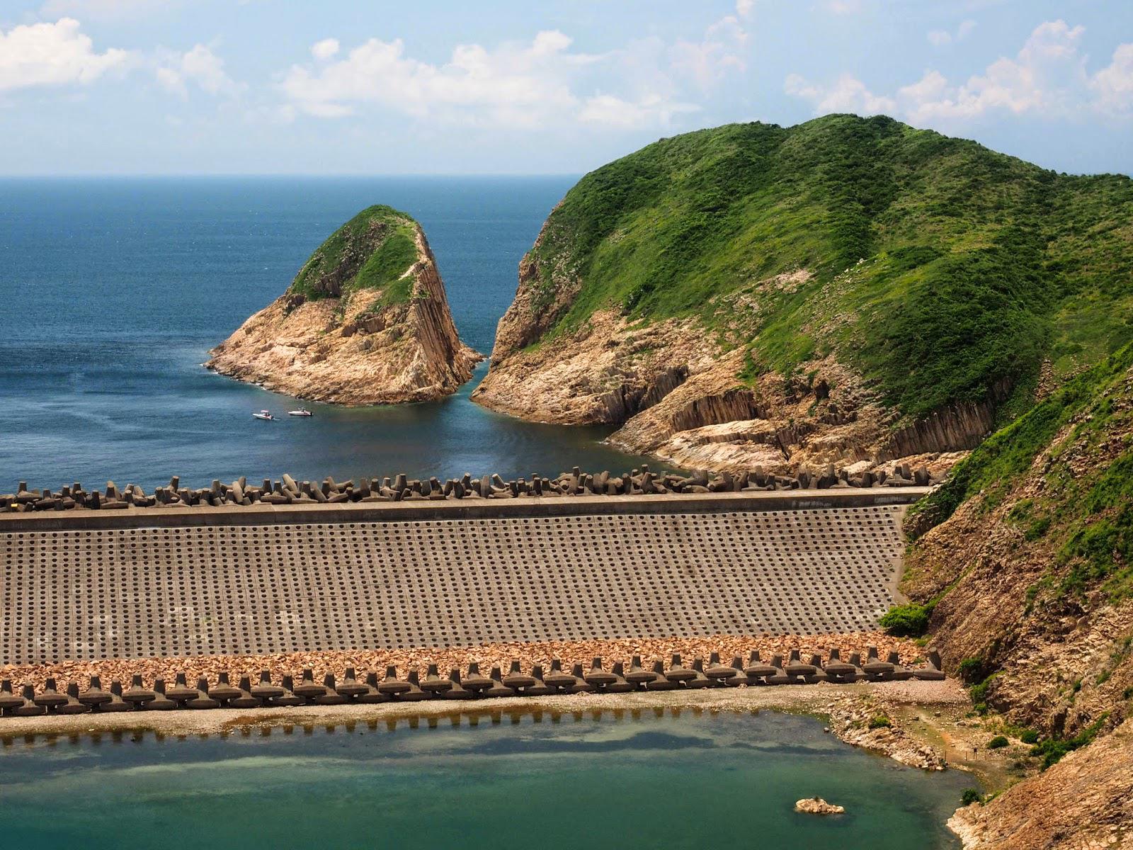
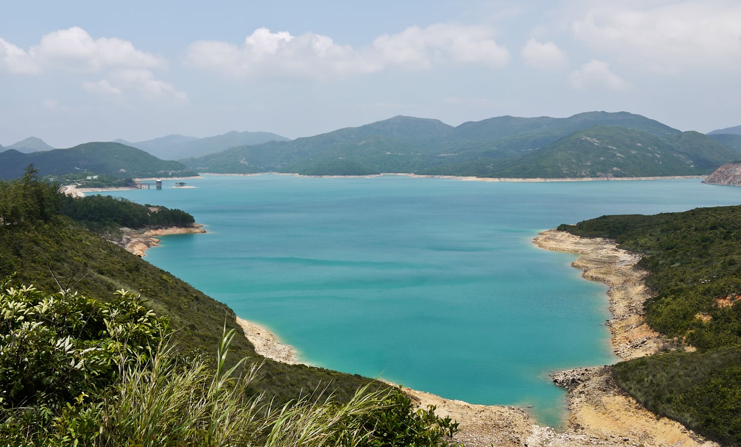
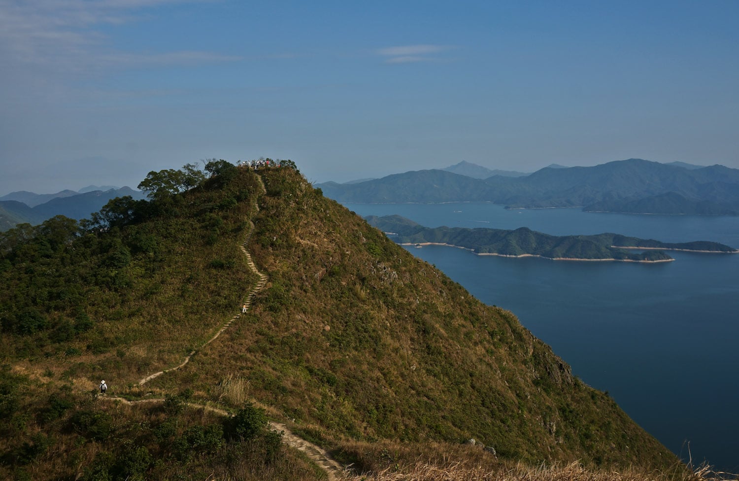
On Maclehose Trail Stage 1, you are walking around half of the High Island Reservoir (萬宜水庫). On Sai Kung Man Yee Road, you can get a full view of the reservoir from different angles. In clear weather, the water is jewelry blue.
High Island Reservoir is the largest reservoir in Hong Kong, holding water of approximately 273 million cubic meters....
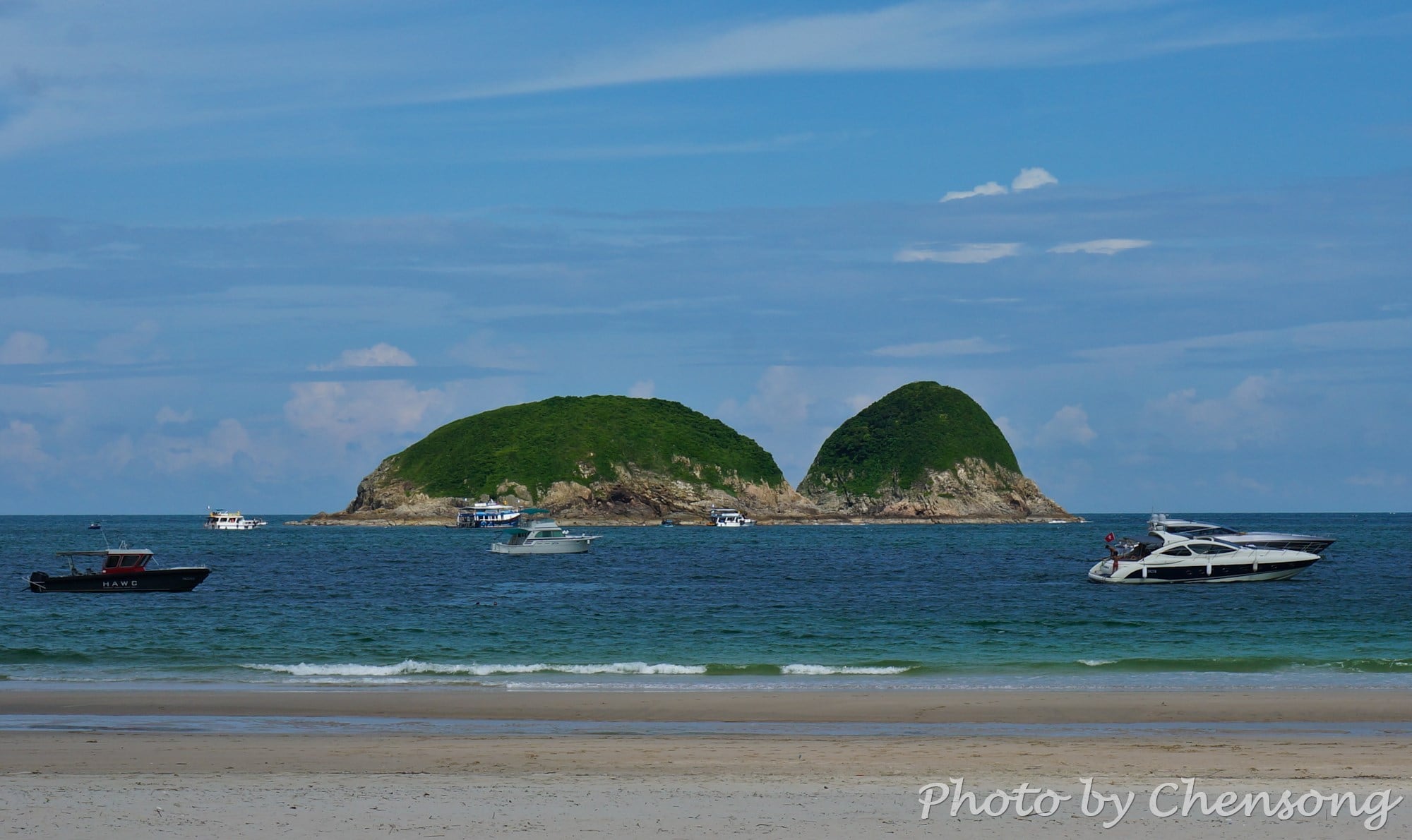
On the southeast corner of High Island at Sai Kung lies Pak Lap Wan, a quiet beach facing Town Island.
In the past, the High Island is a real island and people can only reach Pak Lap Wan by boat from Hong Kong Island, Kowloon or Sai Kung, but with the strong wind and waves in South China Sea, it is...
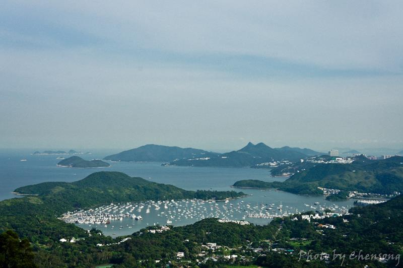
Hebe Haven, a.k.a. Pak Sha Wan, is a perfect harbor in Sai Kung for yachts and boats. The harbor is surrounded by a long peninsula extending from Tsiu Hang with only one opening to Port Shelter (a.k.a. Ngau Mei Hoi).
Along the shore, there are all kinds of businesses related to boating and sailing, such as shipyards, Hebe Haven Yacht...


