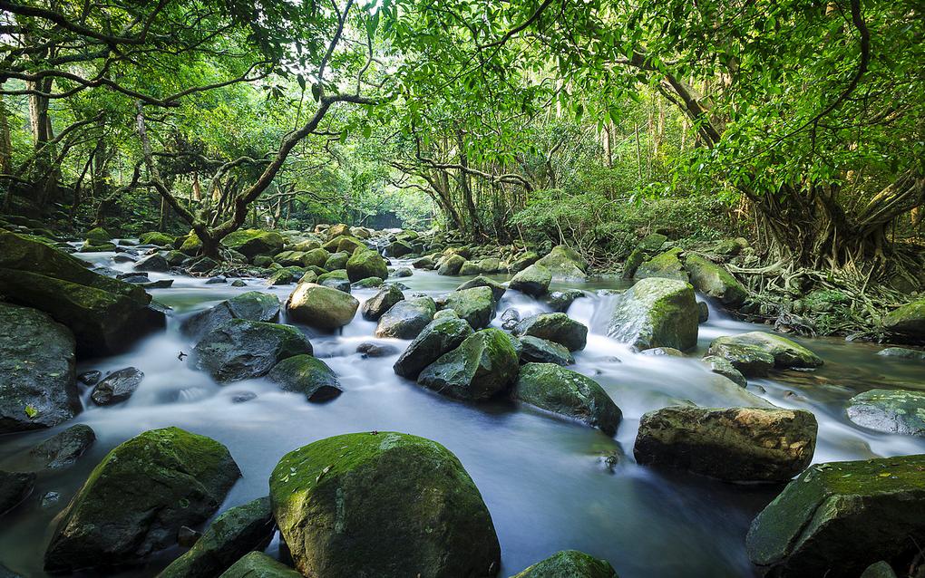
Tai Shing Stream is one of the nine streams in Hong Kong where hikers spend their summer most often due to its easy accessibility. Its origin is at Tai Mo Shan and is the major source of water for the Shing Mun Reservoir.
There dozens of waterfalls along the trail for hikers to swim and enjoy the summer. Water flow...
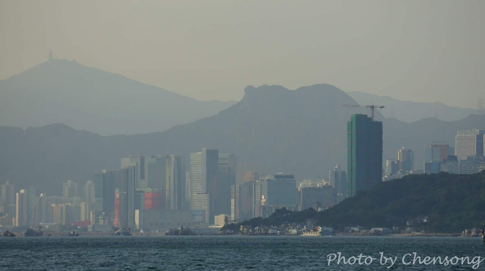
Lion Rock Hill is a symbolic hill to Hong Kong people. There is a popular song and TV series called “Below the Lion Rock” made in 1970s, when Hong Kong was one of the Four Asian Tigers and the city maintained exceptionally high growth rates. The song “Below the Lion Rock” written by Wong Jim, is appreciating the hardworking spirit...
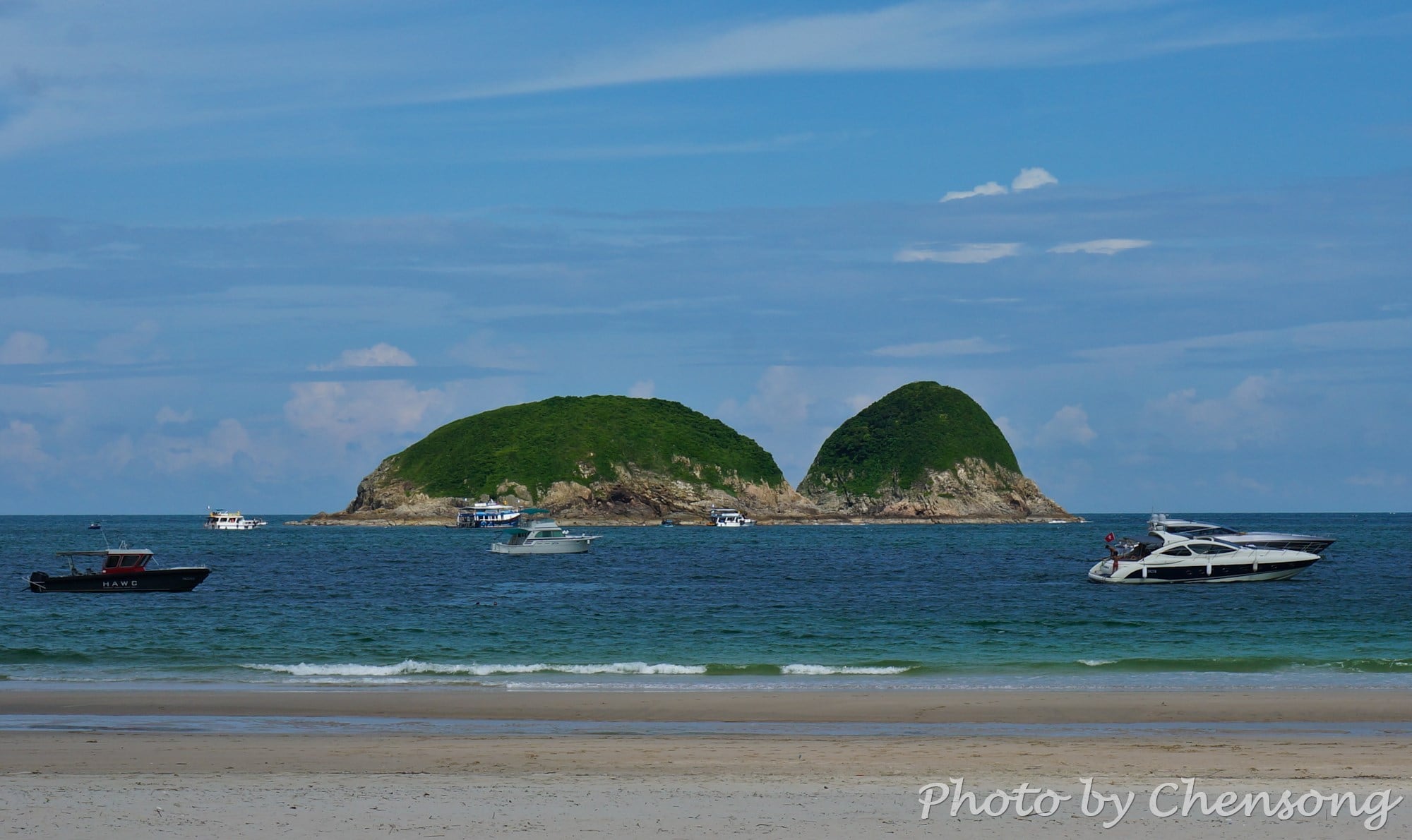
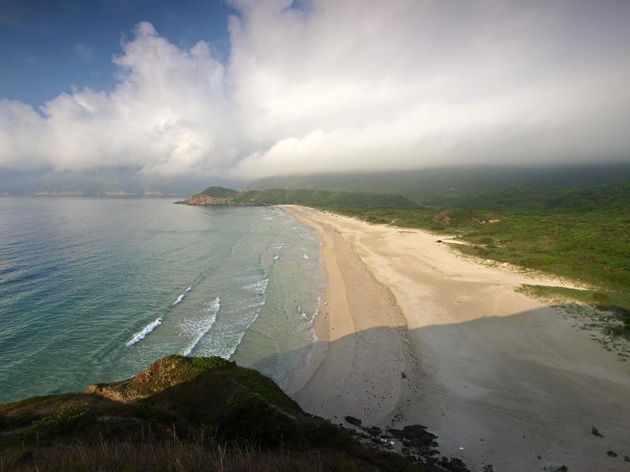
Big Wave Bay consists of 4 beaches on the east coast of Sai Kung Peninsula, i.e. Sai Wan (West Bay), Ham Tin Wan, Tai Wan (Big Bay) and Tung Wan (East Bay).
Tai Wan (Big Bay) is a well-known place for surfing. Maclehose Trail hikers usually take a short break at Ham Tin Wan and eat beancurd jelly at the store...
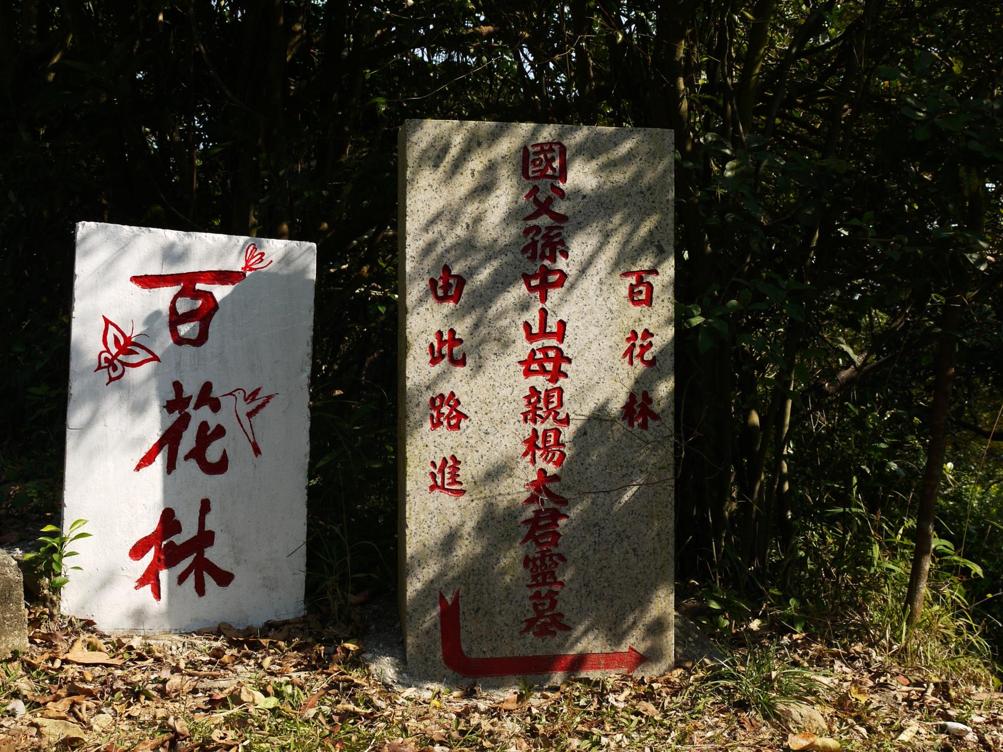
Sun Yat-sen, the father of the Republic of China, was buried in Mount Zijin (Purple Mountain) in Nanjing, China. But where was his mother buried? There is very little information about this great woman.
As the foremost pioneer of Republic of China, Sun is referred to as the Father of the Nation. Sun's notability and popularity extends beyond the great...
There are 3 hiking trails around the Shing Mun Reservoir (or Jubilee Reservoir), i.e. Maclehose Trail Stage 7, Wilson Trail Stage Stage 7 and Pineapple Dam Nature Trail.
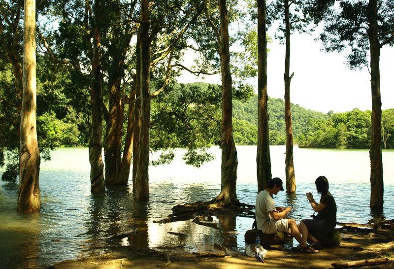
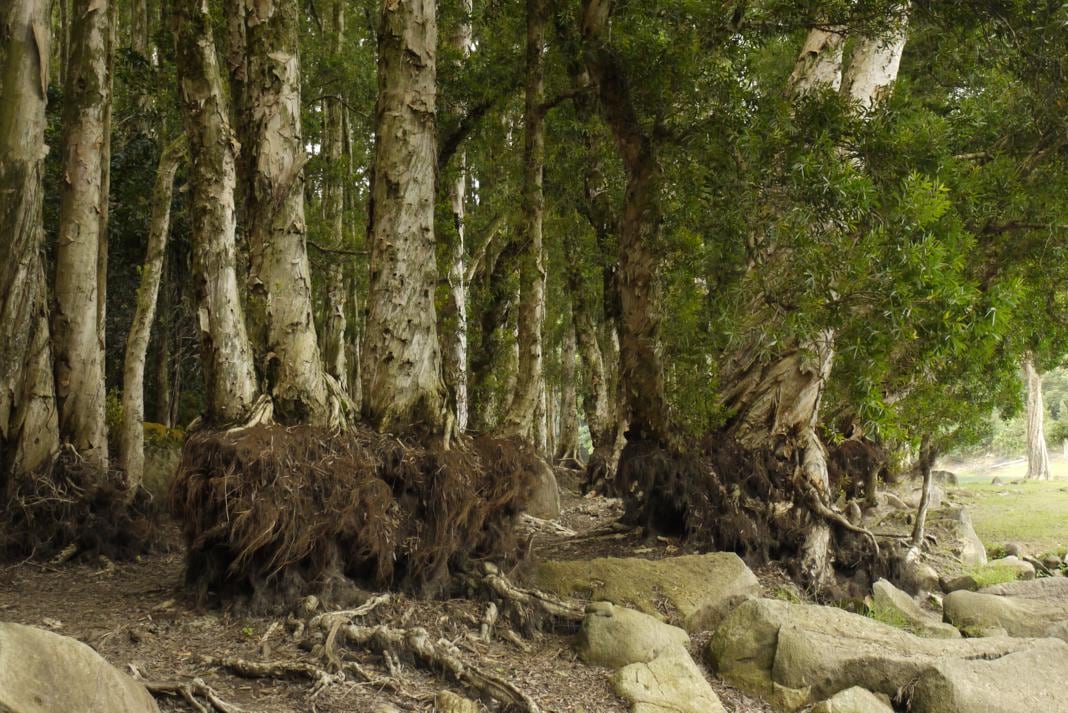
Here hikers can experience two extremes of nature: in the rainy season, when the water level is high, trees are immersed in the water. In the dry season, hikers can walk closer...
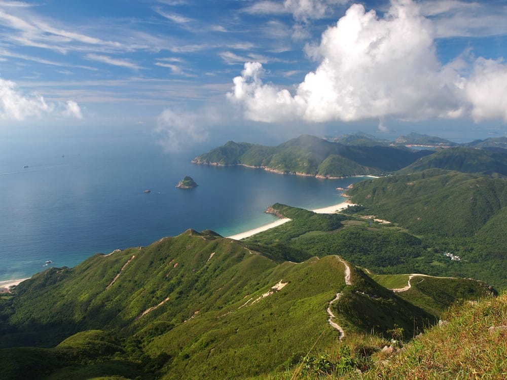
Maclehose Trail, the longest hiking trail (100km), starts at Pak Tam Chung, Sai Kung, across most of the New Territories, ends at Tuen Mun in the west of Hong Kong.
This is where everything about hiking in Hong Kong starts. The amazing nature, the wonderful hiking trails, and the endless paths in this little city. Follow me to explore the...
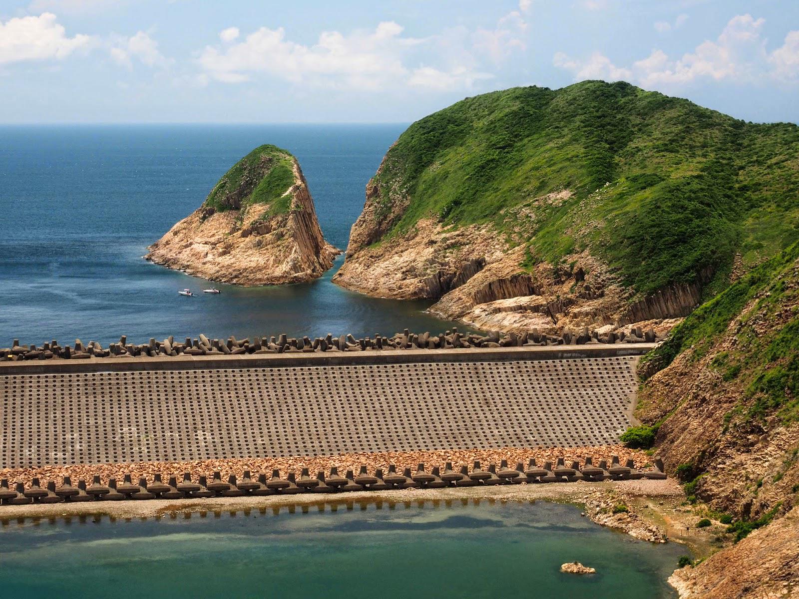
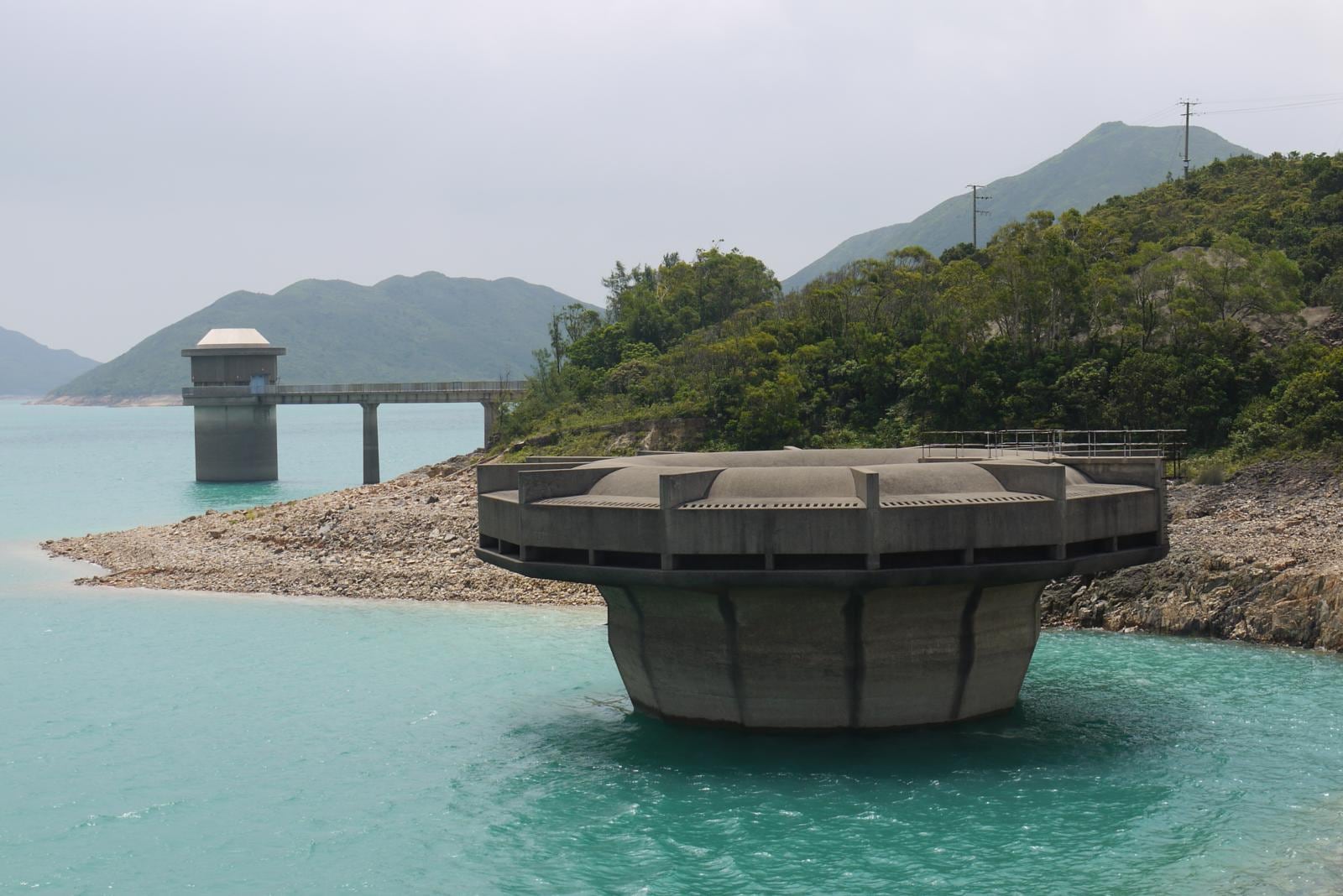
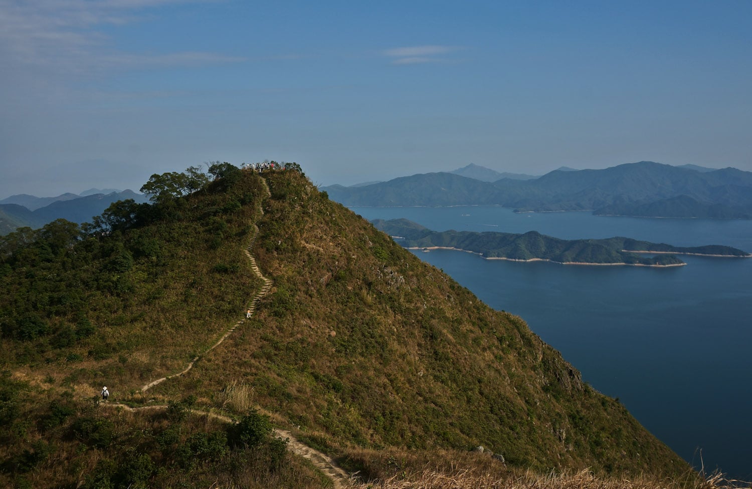
You will see a "fort" at the west side of High Island Reservoir (萬宜水庫) on Maclehose Trail Stage 1. Not sure how it functions. Leave a comment if you know.
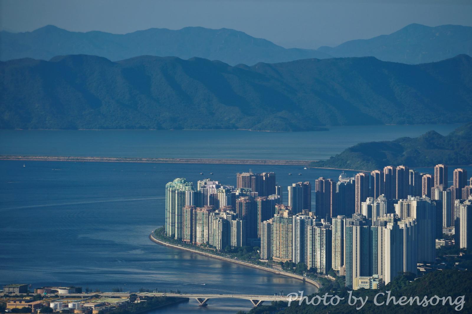
Sha Tin Hoi is at the mouth of Shing Mun River and between Ma Liu Shui and Ma On Shan. Shatin District is the most populous area in Hong Kong and built mostly on reclaimed land in Sha Tin Hoi. 65% of the residents here live in public rental housing.
The Chinese University of Hong Kong was originally built along...
Maclehose Trail Stage 7 and Wilson Trail Stage 6 intersects each other at Shing Mun Reservoir, which is located among Tai Mo Shan, Grassy Hill and Needle Hill, Lead Mine Pass, and Shing Mun Reservoir Road.
When the water level is low, you can walk down the bank of the reservoir and see the amazing root of the trees.
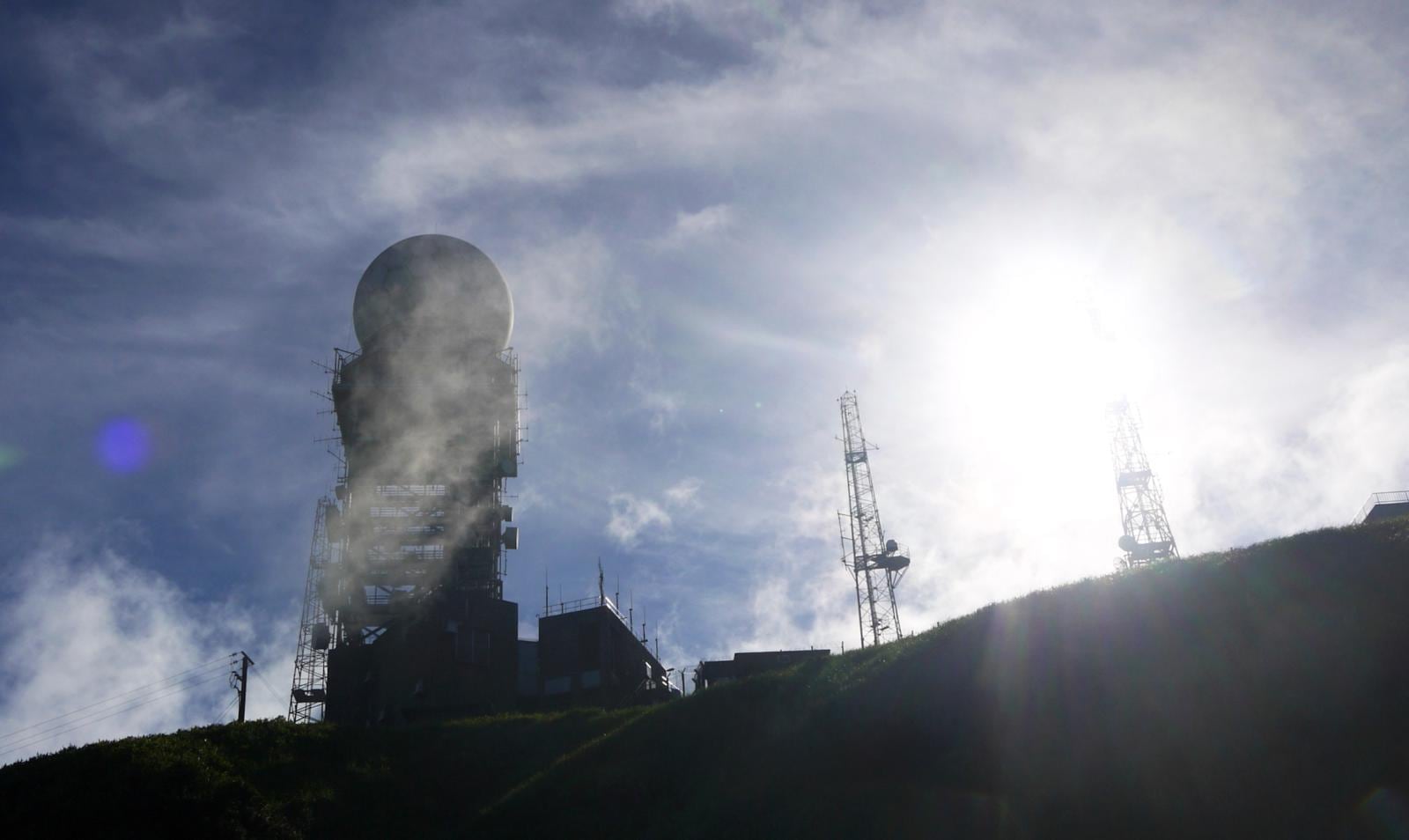
After conquering the exhausting Ma On Shan and Needle Hill, for every Oxfam Trailwalker, Tai Mo Shan is their ultimate challenge.
957m is the highest altitude on Maclehose Trail and hikers can enjoy the most stunning view in Hong Kong under good weather.
After the peak of Tai Mo Shan, hikers descend all the way to around 100m to finish the...


