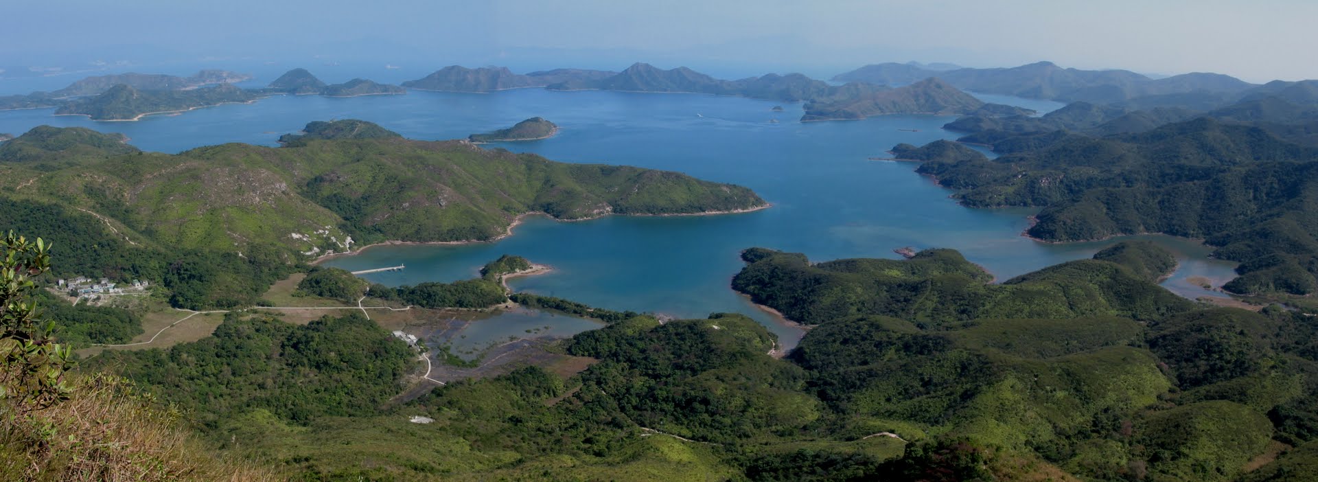
Yan Chau Tong Marine Park is located on the northeast coast of New Territories and north of Plover Cove Country Park. It is well-known for its rich fishery resources and two ecological habitats, mangroves and seagrass bed, attract diverse marine life to the area.
Yan Chau Tong is embraced by uplands and well shielded on four sides from the open...
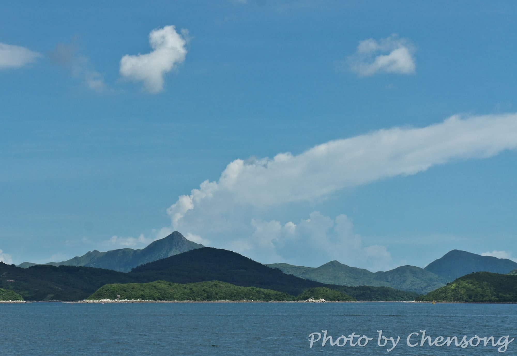
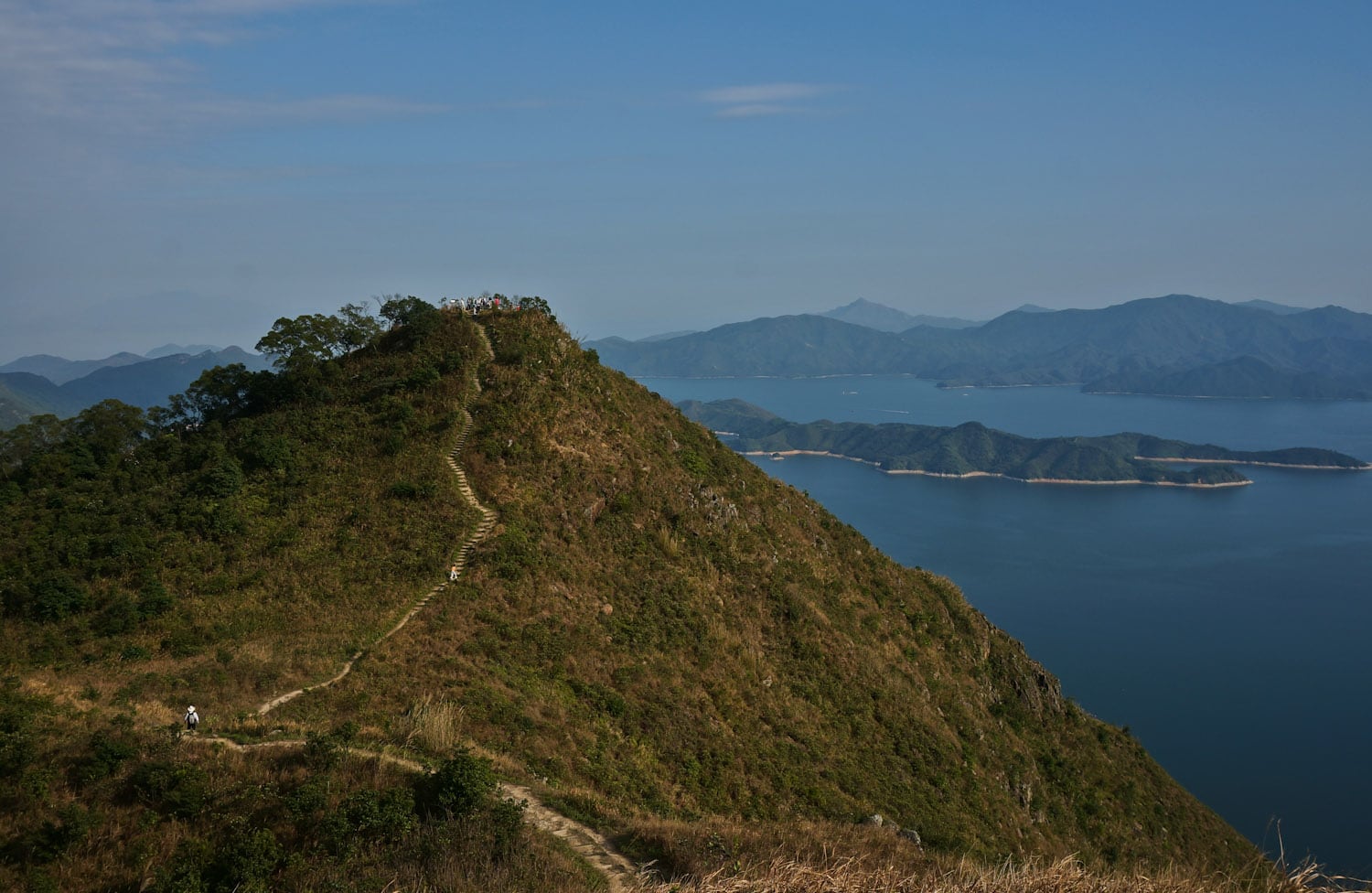
You can tell the "volcano" is fake. Sharp Peak is a tough hiking trail in Sai Kung Country Park for professional hikers. In clear weather, people can see the sharp peak from almost every angle in the east of Sai Kung.
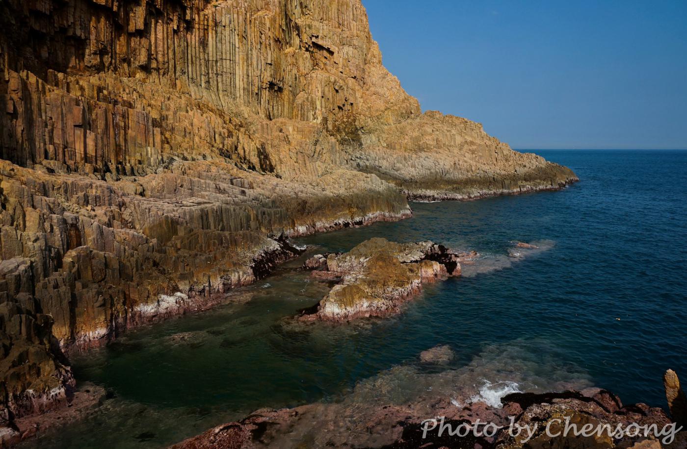
The real volcano in Hong Kong actually died millions of years ago, left thousands of hexagonal volcanic rocks along...
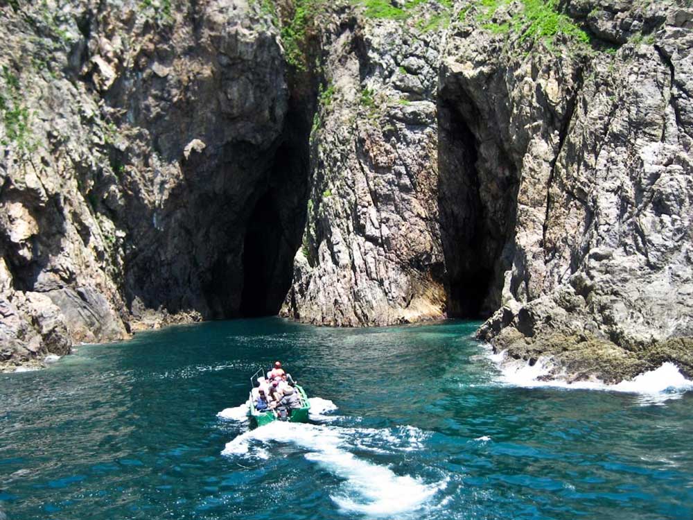
Yin Tsz Ngam literally means Swallow Cave in Chinese. It is actually several caves located at the northeast coast of Tai Yue Ngam Teng where lots of swallows and bats build their nests.
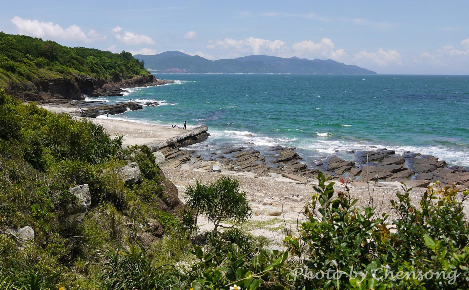
Suffered from the northeast monsoon and tide for millions of years, the coastline of Sai Kung Peninsula is full of amazing geological miracles, such as volcanic rock...
As the Chinese name implies, Po Pin Chau is an island cut away from the mainland. It was once a part of Fa Shan.
Po Pin Chau was formed in several stages. The impact of pounding waves on Fa Shan resulted in progressive erosion on the weaker rock strata until a sea cave was formed. Over time, the cave became...
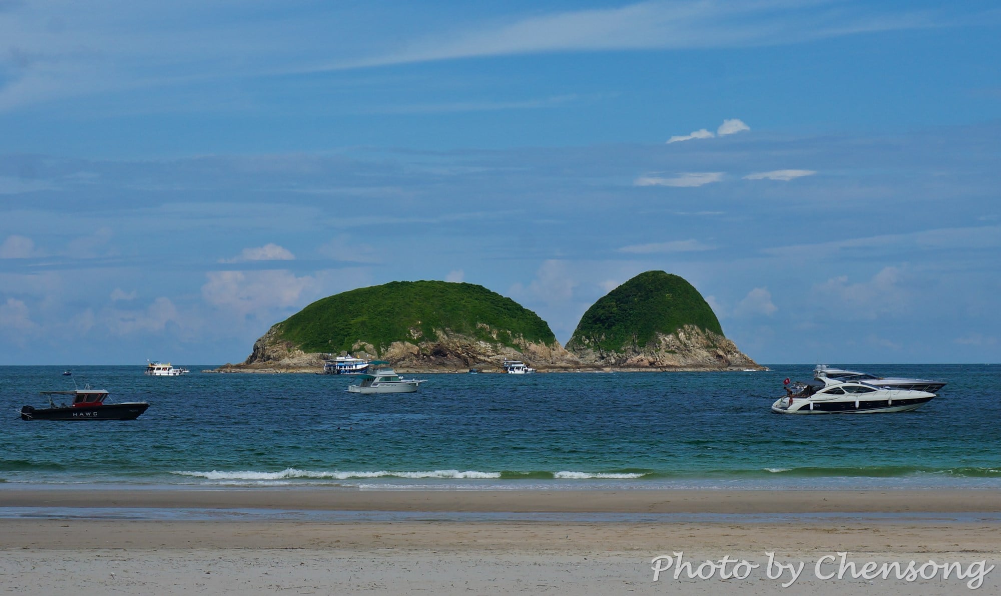
Wang Chau is a small outlying island at the southeast of Sai Kung and belongs to the Hong Kong Global Geopark. It is part of the Early Cretaceous Kau Sai Chau Volcanic Group.
Here hikers can see stunning geological sceneries, such as volcanic rock columns, sea caves, sea-cut platforms and so on. The rock minerals in these volcanic rocks are...
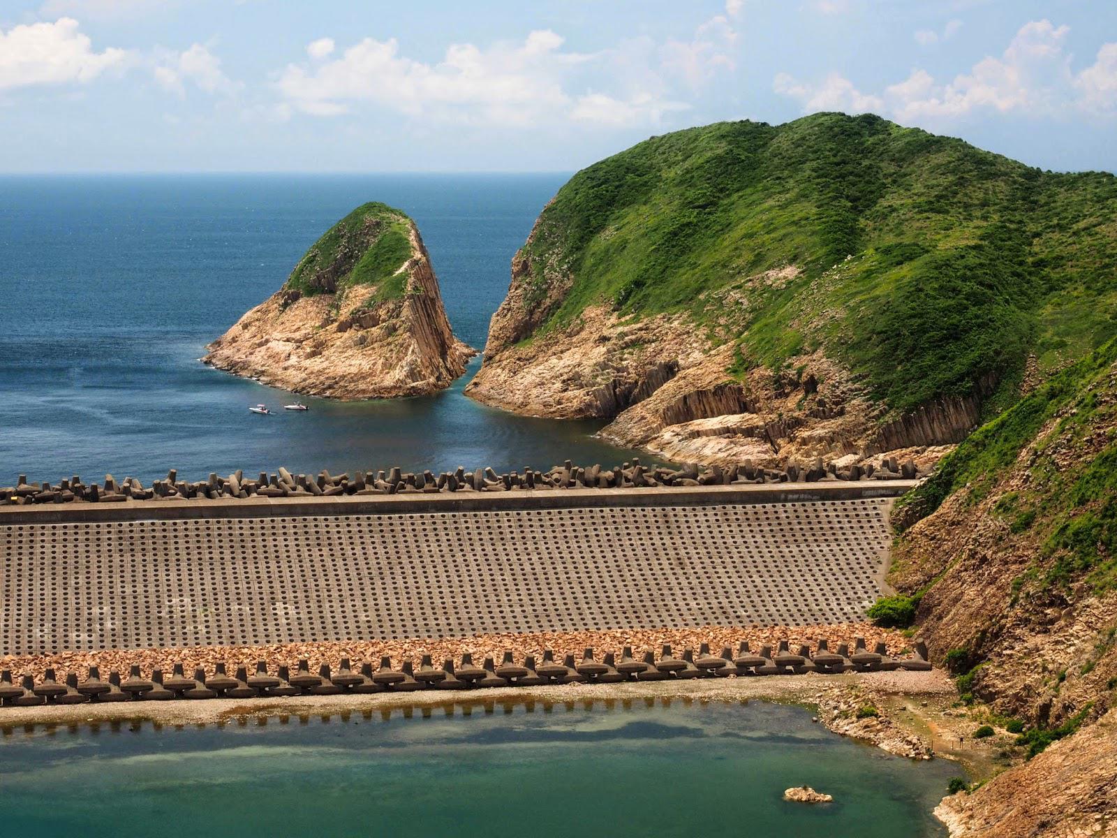
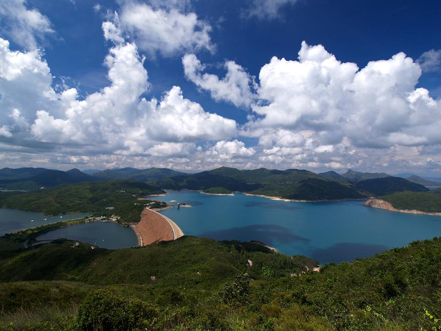
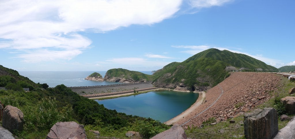
Kwun Mun Channel originally separated the High Island from the Sai Kung Peninsula. But from 1971 to 1978, High Island Reservoir was built to supply fresh water to Hong Kong people. Its West Dam and East Dam connects High Island with the Sai Kung Peninsula, but it is still known for the 4th largest island in Hong Kong. According...
High Island Geo Trail is a well-known bypass near the end of Maclehose Trail 1, where hikers can experience the wonders of nature about 140 million years ago.
Volcanic activities left thousands of world-class hexagonal rock columns, sea caves and cut-away islands in east Sai Kung.
The geological feature here is unique in China and indeed the world, thus it became...
At the west coast of Tung Ping Chau, hikers can see an interesting geological phenomenon called "Dragon diving into the sea". The white rock strata lying obliquely on the coast looks like the backbone of a dragon and extends from the coast into the sea.
It is actually caused by differential weathering between rock strata consisting mostly of quartz and...
Along the coastlines of Hong Kong, you can find lots of sea caves, which are formed primarily by the wave action of the sea at the weak zone of the rocks.
Mok Min Cave (木棉桐) is the best-known sea cave that can be reached on land. When the tide is low, people can get inside and walk through.
Mok Min Cave...
A city known for its harbor front has many hidden jewels along its coast line. One of those that is being well looked after and becoming more accessible is Pak Lap Wan. Rated in the top ten beaches, it has more than a protected harbor and white sand beach to offer.
The location has both hostels (Hk$ 300-800 per night)...


