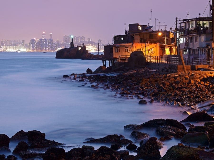
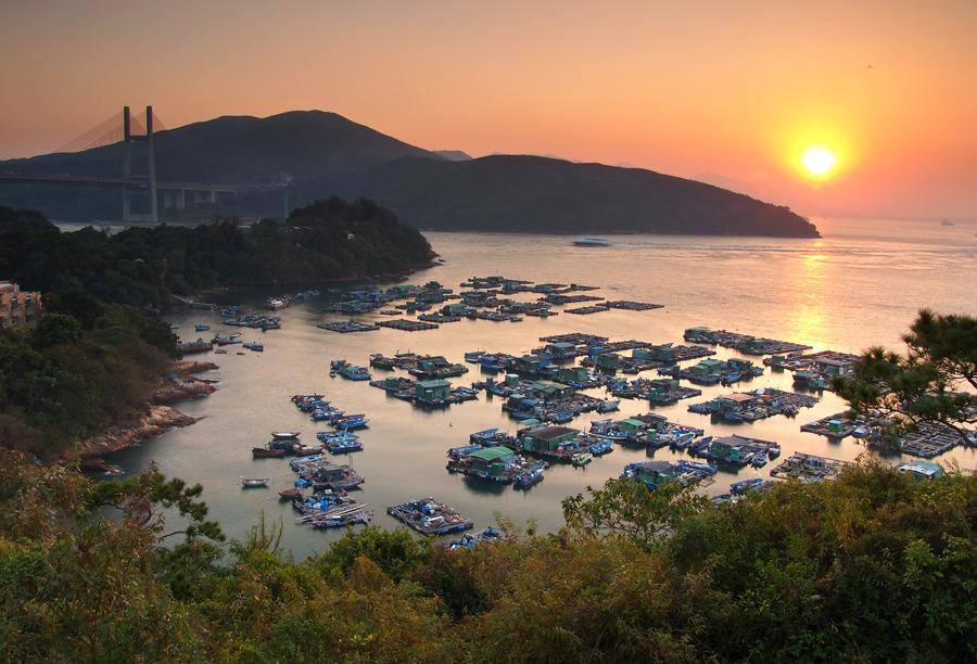
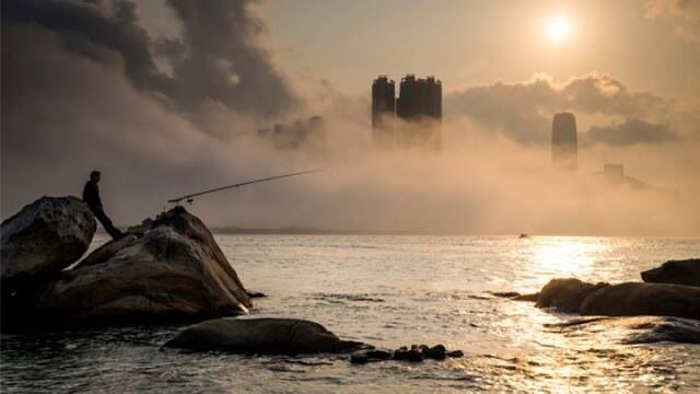
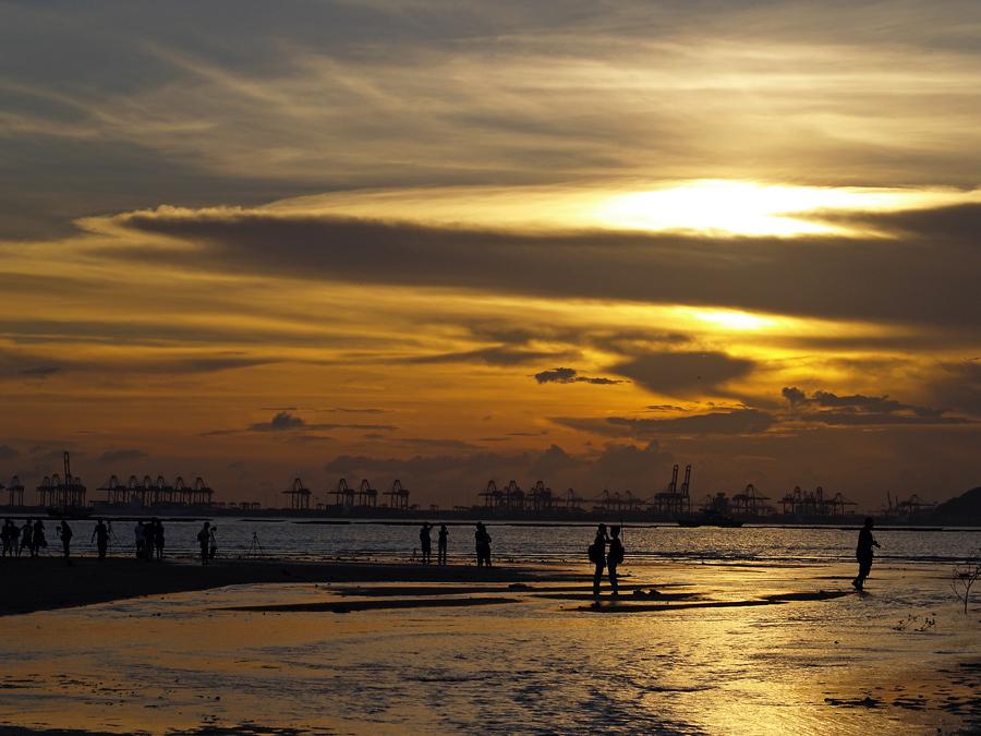
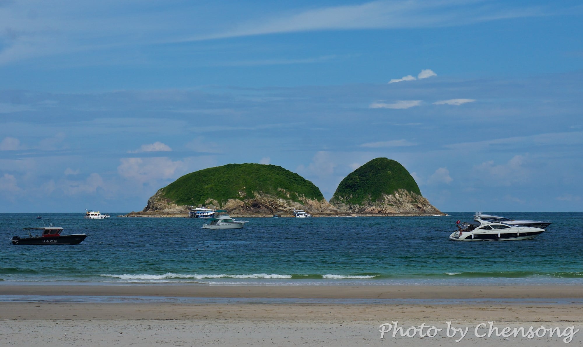
Pak Nai, subdivided into Sheung Pak Nai and Ha Pak Nai, is one of the best places to view sunset in Hong Kong. Facing Deep Bay (a.k.a. Shenzhen Wan), Pak Nai is covered by wetland and there are hundreds of rafts floating on the bay raising oysters and scallops. Sea creatures are kept in these sheltered areas until they grow up...
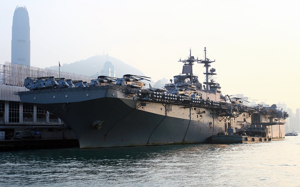
Once in a while, Hong Kong people have a chance to take a close look at grand naval vessels in the world-famous Victoria Harbor. Most of the times, these warships come to Hong Kong routinely just to restock their supplies or for regular maintenance. Their stopover usually bring a lot of business to the bars and clubs at Lan Kwai...
IFC (International Finance Centre) Tower 2 was the tallest building in Hong Kong before 2011 and a landmark of Hong Kong. Quoted as having 88 storeys, the highrise is designed to accommodate financial institutions, such as Bank of America, BNP, UBS, Standard Chartered Bank, etc. ICC (International Commerce Centre) is currently the world's fifth tallest building and the tallest building...
Ma On Shan (馬鞍山) is the 4th highest peak (702 metres) in Hong Kong. Together with Hunch Backs (牛押山), Ma On Shan gets its Chinese name from the saddle-shaped passes, known to hikers as the "head saddle" (The Ma On Shan main peak) and "end saddle" (the Hunch Backs). The northeastern slopes to the peak of Ma On Shan is...
Kau Pei Chau (狗髀洲) is located to the south of Cape D'Aguilar Marine Reserve (鶴咀海岸保護區), and the most southeast corner of Hong Kong Island. It is only around 50 meters from the D'Aguilar Peninsula, but since the peninsula extends quite further into the sea, the island is hit by big waves all day. There is nobody living on Kau...
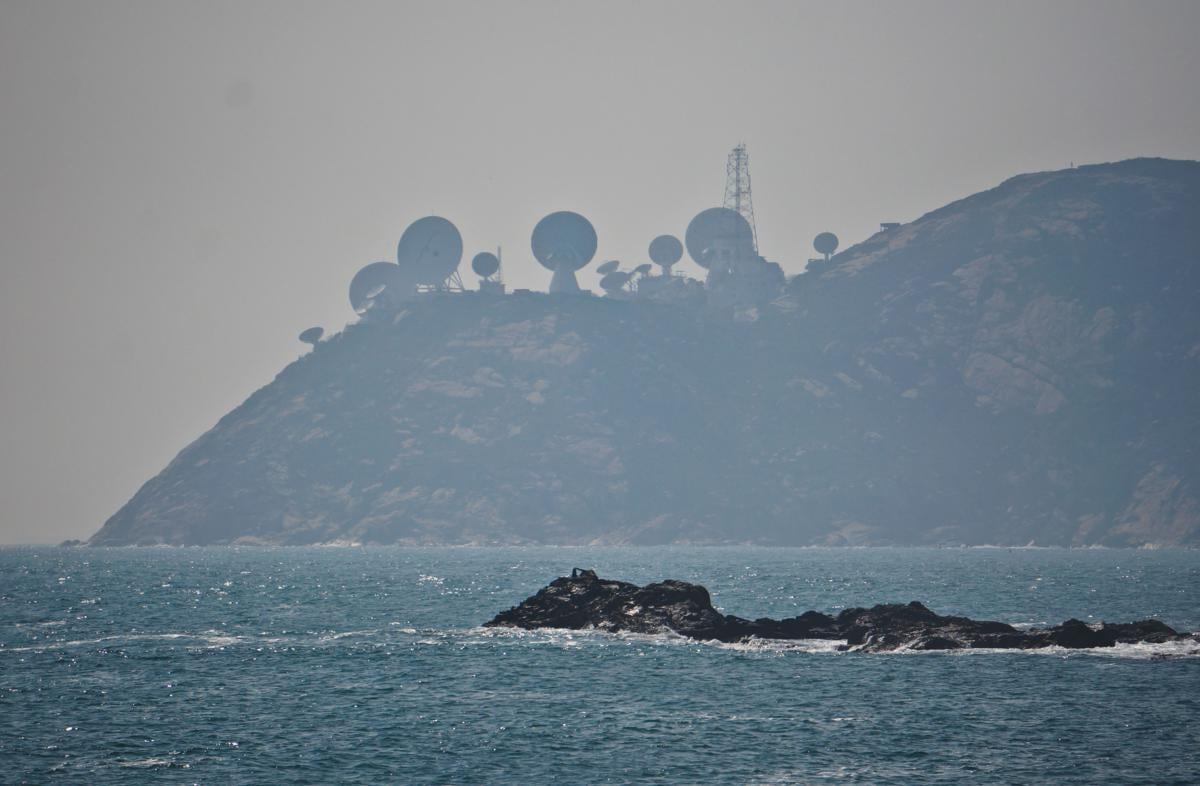
Standing at Cape D'Aguilar Marine Reserve (鶴咀海岸保護區), people can see Stanley Peninsula / Chek Chue (赤柱半島) just a few miles a away and the "radar stations" on top of the hill quite stand out from the background. This is actually AsiaSat's Stanley Earth Station. Six antennas serve as a backup system to the Tai Po Earth Station in New Territories....
Pandanus tectorius (a.k.a. "Wild Pineapple" in Chinese) can be widely seen in outlying islands and along coastlines in Hong Kong, such as Tung Ping Chau, Grass Island and Wong Chuk Kok. It grows wild mainly in semi-natural vegetation in littoral habitats throughout the tropical and subtropical Pacific, where it can withstand drought, strong winds, and salt spray. It propagates readily...
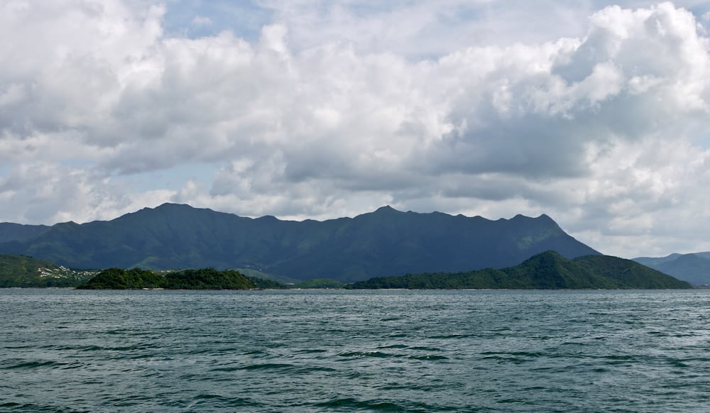
Pat Sin Leng (八仙嶺) literally means "Eight Peaks of Immortals". It is a mountain range located in northeast New Territories and the highest peak is 591m. From Tolo Harbor, people can get a clear view of Pat Sin Leng's 8 stately peaks, named after 8 immortals in Chinese mythology: Shun Yeung Fung (純陽峰), Chung Li Fung (鐘離峰), Kuai Li Fung...
The Bun Scrambling Competition (搶包山) at Cheung Chau Island has been one of the most representative traditional festive events in Hong Kong, which is also the highlight of the weeklong event Cheung Chau Bun Festival (包山嘉年華). Participants first stand at the bottom of the conical bun tower and then scramble up to get as many buns as possible within 3 minutes....
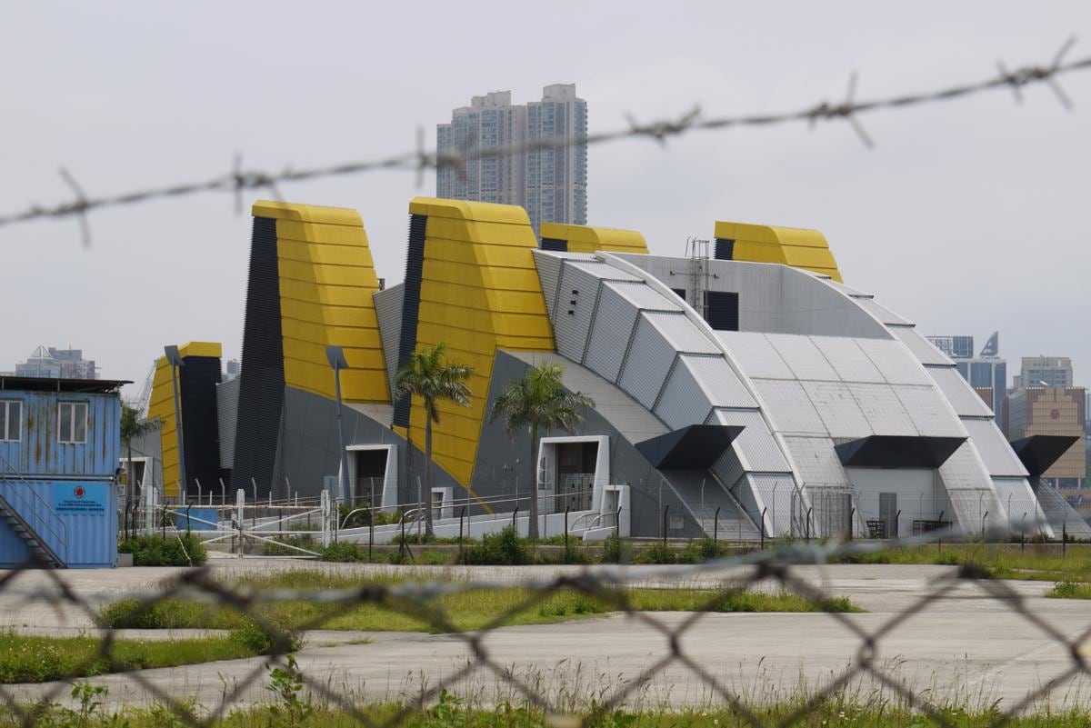
The weird building looks like a transformer far away. When I first came across this weird building near West Kowloon Waterfront Promenade, I thought it was the entrance of the undersea tunnel across the Victoria Harbor. But there was no traffic near the tunnel, so I know my answer was wrong. Today, I finally found out that my answer was half...


